
1956 Map of Indianapolis
USGS Topo · Published 1956About this map
The mid-century state capital and its surrounding central Indiana corridor are detailed in this 1956 mid-century survey. Indianapolis serves as the primary hub, surrounded by emerging suburbs like Speedway and Beech Grove, with Fort Benjamin Harrison anchoring the northeast. The landscape transitions from the urban center to the industrial and agricultural heartlands, where the Wabash River and White River systems define the drainage. Resource extraction is evident through numerous oil wells in the southwest and strip mines concentrated near Brazil.
Find a feature on this map
406 named features on this map. Tap any name to fly to it.
Don’t see what you’re looking for? This feature index may not catch every label — zoom into the map to look around manually.
Map Details
Editions of this 1956 Indianapolis Map
This is the sole edition of this map. No revisions or reprints were ever made.
Other maps of this area
1899 · Danville
USGS Topo · 1:62,500
1900 · Danville
USGS Topo · 1:62,500
1906 · Urbana
USGS Topo · 1:62,500
1908 · Clay City
USGS Topo · 1:48,000
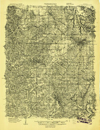
1908 · Bloomington
USGS Topo · 1:48,000
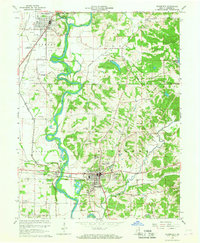
1908 · Bloomfield
USGS Topo · 1:62,500
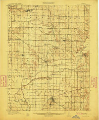
1910 · Clay City
USGS Topo · 1:62,500
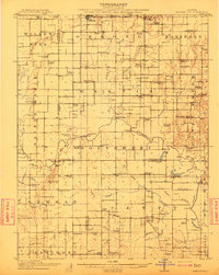
1910 · Hardinville
USGS Topo · 1:62,500
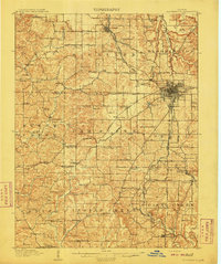
1910 · Bloomington
USGS Topo · 1:62,500
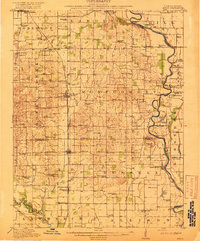
1917 · Birds
USGS Topo · 1:62,500