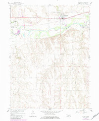
1958 Map of Indianola
USGS Topo · Published 1983About this map
The Republican River valley serves as the central anchor for this mid-century survey, where the town of Indianola sits at the intersection of critical irrigation and rail infrastructure. Transport is dominated by the Burlington Northern railroad, which parallels the river and connects the smaller settlement of Red Willow. The agricultural landscape is defined by the Bartley Canal and various tributaries including Ash Creek, Buffalo Creek, and Red Willow Creek, showing the organized water management of the Missouri River Basin project. Genealogists will find significant detail in the cluster of burial grounds north of the town center, including Cedar Grove Cem, Indianola Cem, and St Catherine Cem. Moving south from the river, the terrain transitions into a more dissected landscape of canyons and draws, marked by the presence of School No 27.
Find a feature on this map
16 named features on this map. Tap any name to fly to it.
Don’t see what you’re looking for? This feature index may not catch every label — zoom into the map to look around manually.
Map Details
Editions of this 1958 Indianola Map
2 editions found
Other maps of this area

1954 · McCook
USGS Topo · 1:250,000

1956 · Bartley
USGS Topo · 1:24,000

1957 · McCook
USGS Topo · 1:250,000

1957 · Danbury
USGS Topo · 1:24,000

1957 · Lebanon
USGS Topo · 1:24,000

1957 · McCook SE
USGS Topo · 1:24,000

1957 · Danbury NE
USGS Topo · 1:24,000

1958 · McCook
USGS Topo · 1:250,000

1958 · Danbury NE
USGS Topo · 1:24,000
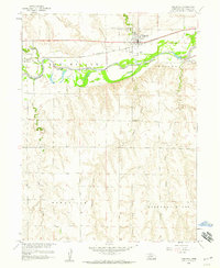
1958 · Indianola
USGS Topo · 1:24,000