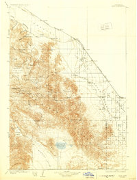
1904 Map of Indio
USGS Topo · Published 1930About this map
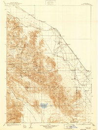
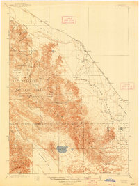
The Southern Pacific railroad line defines the settlement corridor through the Coachella Valley on this 1904 survey, linking towns like Indio and Thermal along the edge of the desert basin. To the south and west, the formidable Santa Rosa Mountains rise sharply, dotted with family-named landmarks and remote mining operations such as the Asbestos Mine and the Garnet Queen Mine.
Find a feature on this map
66 named features on this map. Tap any name to fly to it.
Don’t see what you’re looking for? This feature index may not catch every label — zoom into the map to look around manually.
Map Details
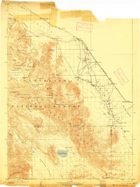
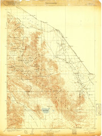
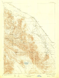
Editions of this 1904 Indio Map
7 editions found
Other maps of this area

1901 · Southern California Sheet No. 1
USGS Topo · 1:250,000

1901 · San Jacinto
USGS Topo · 1:125,000

1903 · Ramona
USGS Topo · 1:125,000

1904 · Indio
USGS Topo · 1:125,000

1904 · Southern California Sheet No. 2
USGS Topo · 1:250,000

1904 · Southern California Sheet No. 1
USGS Topo · 1:250,000

1931 · Vallecito
USGS Topo · 1:125,000

1939 · Warner Springs
USGS Topo · 1:62,500

1939 · Santa Ysabel
USGS Topo · 1:62,500

1939 · Borrego
USGS Topo · 1:62,500