
1904 Map of Indio
USGS Topo · Published 1904About this map
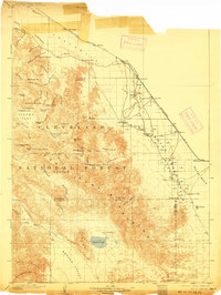
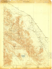
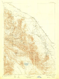
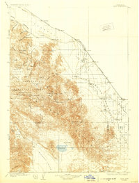
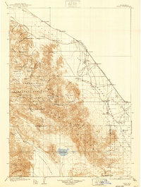
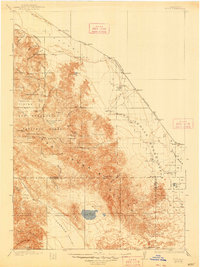
The Southern Pacific R. R. cuts a diagonal line across the Conchilla Desert in this 1904 survey, linking early rail settlements like Indio and Coachella before the region's agricultural boom. The map captures a transitional landscape where the arid Conchilla Valley meets the rising slopes of the San Jacinto Mountains. Notable tribal lands including the Cabezon Indian Res. and Augustin Indian Res. are clearly delineated near the rail corridor, while the lower desert floor reaches toward the Salton Basin, marked by unique water features like Agua Dulce and Figtree John.
Find a feature on this map
81 named features on this map. Tap any name to fly to it.
Don’t see what you’re looking for? This feature index may not catch every label — zoom into the map to look around manually.
Map Details
Editions of this 1904 Indio Map
7 editions found
Other maps of this area

1901 · Southern California Sheet No. 1
USGS Topo · 1:250,000

1901 · San Jacinto
USGS Topo · 1:125,000

1903 · Ramona
USGS Topo · 1:125,000

1904 · Southern California Sheet No. 2
USGS Topo · 1:250,000

1904 · Southern California Sheet No. 1
USGS Topo · 1:250,000

1931 · Vallecito
USGS Topo · 1:125,000

1939 · Warner Springs
USGS Topo · 1:62,500

1939 · Santa Ysabel
USGS Topo · 1:62,500

1939 · Borrego
USGS Topo · 1:62,500

1940 · Palm Springs
USGS Topo · 1:62,500