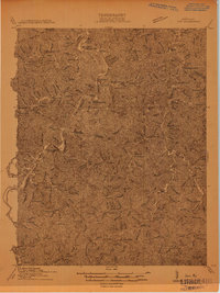
1914 Map of Inez
USGS Topo · Published 1914About this map
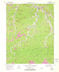
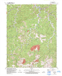
The Big Sandy River and its tributary, the Levisa Fork, carve a complex drainage pattern through this section of eastern Kentucky, defining the lives of its early twentieth-century residents. This 1914 survey illustrates a landscape where connectivity followed the water and rail, with Richardson, Whitehouse, and Henrietta serving as key nodes. The river valleys are densely packed with small-scale rural infrastructure, evidenced by the numbered school system, including School No 5 and School No 11, which were the heart of local communities before consolidation.
Find a feature on this map
95 named features on this map. Tap any name to fly to it.
Don’t see what you’re looking for? This feature index may not catch every label — zoom into the map to look around manually.
Map Details
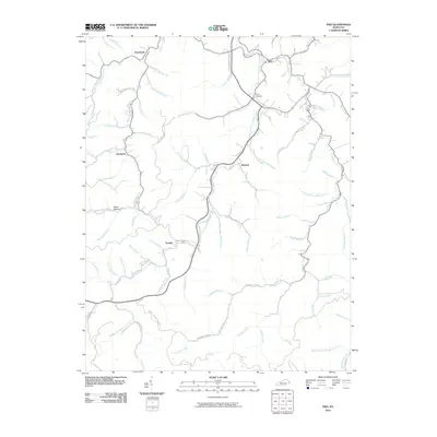
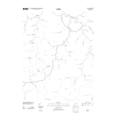
Editions of this 1914 Inez Map
This is the sole edition of this map. No revisions or reprints were ever made.
Historical Maps of Inez Through Time
9 maps found