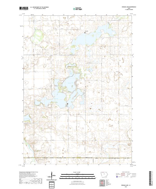
2022 Map of Ingham Lake
USGS Topo · Published 2022About this map
Ingham Lake and High Lake dominate this prairie landscape in the northwest corner of Iowa, where a glacial chain of lakes and sloughs breaks the rigid grid of the Public Land Survey System. The area is defined by its water, including the intricate shorelines of Swan Lake and the meandering path of the Des Moines River in the southwestern corner. These natural features create a varied topography compared to the surrounding agricultural sections, which are neatly partitioned by roads like Co Hwy N40 and Co Hwy A33. Local history is anchored by the Swan Lake Village Cem near the northern shore and the High Lake Jack Creek Cem to the south, marking the early settlement sites of the region. The map captures the subtle drainage patterns of Jack Cr and the marshy expanses of West Slough and East Slough, reflecting the hydrography of the northern Iowa lakes region.
Find a feature on this map
34 named features on this map. Tap any name to fly to it.
Don’t see what you’re looking for? This feature index may not catch every label — zoom into the map to look around manually.
Map Details
Editions of this 2022 Ingham Lake Map
This is the sole edition of this map. No revisions or reprints were ever made.
Other maps of this area

1954 · Fairmont
USGS Topo · 1:250,000

1958 · Fairmont
USGS Topo · 1:250,000

1972 · Graettinger West
USGS Topo · 1:24,000

1972 · Wallingford
USGS Topo · 1:24,000

1972 · Estherville
USGS Topo · 1:24,000

1980 · Depew
USGS Topo · 1:24,000

1980 · Ringsted
USGS Topo · 1:24,000

1980 · Ingham Lake
USGS Topo · 1:24,000

1980 · Gruver
USGS Topo · 1:24,000

1980 · Graettinger East
USGS Topo · 1:24,000