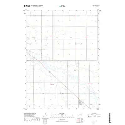
2017 Map of Inman
USGS Topo · Published 2017About this map
Inman serves as the primary focal point of this Holt County landscape, situated along the southeastern edge of the quadrangle. The village is organized around a grid of streets including 1st St, 2nd St, and Section St, reflecting its historical development in relation to the regional transport network. The southern half of the map is dominated by the wandering course of the Elkhorn River, which carves a complex riparian corridor through the plains, accompanied by Dry Cr. The surrounding terrain is meticulously gridded by rural routes like Old Co Hwy 108 and Pioneer Rd, which demarcate the township and range boundaries of t29n r11w and t28n r11w. This survey illustrates the enduring intersection of a structured agricultural grid with the unpredictable natural hydrology of the Nebraska plains.
Find a feature on this map
41 named features on this map. Tap any name to fly to it.
Don’t see what you’re looking for? This feature index may not catch every label — zoom into the map to look around manually.
Map Details
Editions of this 2017 Inman Map
This is the sole edition of this map. No revisions or reprints were ever made.
Other maps of this area
1954 · Dorsey SW
USGS Topo · 1:24,000
1954 · Opportunity
USGS Topo · 1:24,000
1954 · Meek SW
USGS Topo · 1:24,000
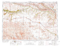
1955 · O'Neill
USGS Topo · 1:250,000
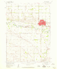
1958 · O'Neill
USGS Topo · 1:24,000
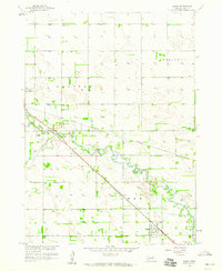
1958 · Inman
USGS Topo · 1:24,000
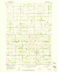
1958 · Page
USGS Topo · 1:24,000
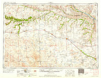
1959 · O'Neill
USGS Topo · 1:250,000
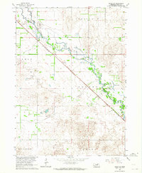
1963 · Ewing SW
USGS Topo · 1:24,000
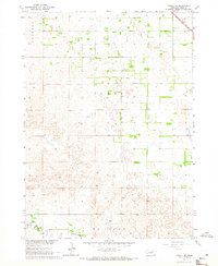
1964 · O'Neill SE
USGS Topo · 1:24,000