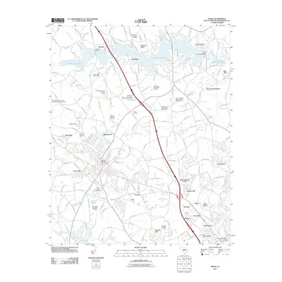
2011 Map of Inman
USGS Topo · Published 2011About this map
Inman and Inman Mills anchor this Spartanburg County landscape, serving as central points for a region defined by agricultural traditions and complex water management. The topography is marked by significant reservoirs including Lake Willaim C Bowen and the South Pacolet River Reservoir Number One, which dominate the northern terrain. These man-made bodies of water are supported by numerous smaller impoundments such as Milliken Lake and Chestnut Lake, reflecting a mid-to-late 20th-century emphasis on local water control and recreation.
Find a feature on this map
62 named features on this map. Tap any name to fly to it.
Don’t see what you’re looking for? This feature index may not catch every label — zoom into the map to look around manually.
Map Details
Editions of this 2011 Inman Map
This is the sole edition of this map. No revisions or reprints were ever made.
Other maps of this area

1907 · Saluda
USGS Topo · 1:125,000

1935 · Greer
USGS Topo · 1:48,000

1938 · Greer
USGS Topo · 1:62,500

1941 · Spartanburg
USGS Topo · 1:250,000

1947 · Spartanburg
USGS Topo · 1:62,500

1949 · Spartanburg
USGS Topo · 1:24,000

1949 · Spartanburg
USGS Topo · 1:62,500

1953 · Spartanburg
USGS Topo · 1:250,000

1953 · Charlotte
USGS Topo · 1:250,000

1954 · Charlotte
USGS Topo · 1:250,000