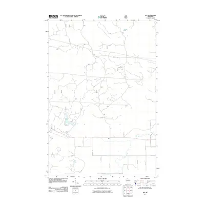
2011 Map of Ino
USGS Topo · Published 2011About this map
The settlement of Ino anchors the southern portion of this landscape, situated along a central corridor of rural roads and forest service tracks. This northern Wisconsin terrain is defined by its glacial hydrology, with Spider Lake and Boris Lake to the west and the high-elevation Summit Lake to the north. These water bodies, along with the headwaters of North Fish Creek and Pine Creek, reflect the intricate drainage patterns of the Chequamegon-Nicolet National Forest region.
Find a feature on this map
47 named features on this map. Tap any name to fly to it.
Don’t see what you’re looking for? This feature index may not catch every label — zoom into the map to look around manually.
Map Details
Editions of this 2011 Ino Map
This is the sole edition of this map. No revisions or reprints were ever made.
Other maps of this area

1943 · Iron Lake
USGS Topo · 1:48,000

1944 · Moquah
USGS Topo · 1:48,000

1944 · Drummond
USGS Topo · 1:48,000

1944 · Grandview
USGS Topo · 1:48,000

1947 · Drummond
USGS Topo · 1:48,000

1947 · Moquah
USGS Topo · 1:48,000

1947 · Iron Lake
USGS Topo · 1:48,000

1947 · Grandview
USGS Topo · 1:48,000

1953 · Ashland
USGS Topo · 1:250,000

1958 · Ashland
USGS Topo · 1:250,000