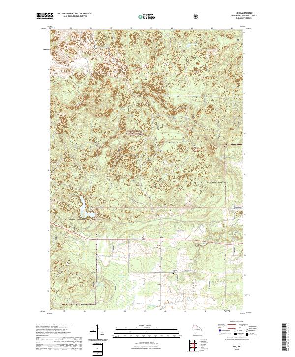
2022 Map of Ino
USGS Topo · Published 2022About this map
Ino sits at the heart of this landscape, surrounded by the dense woods of the Chequamegon National Forest. The region is defined by its water and marshlands, including The Swamp and Boris Lake in the southern portion, while Summit Lake marks the northern high ground. The local transportation network reflects the area's rural character, with named routes like Iron River Trl and Co Hwy E connecting isolated homesteads and timberlands. Near the center of the sheet, the Saint Florians Cem provides a specific point of interest for genealogists tracing families in this part of Bayfield County. The topography is shaped by the drainage patterns of N Fish Cr and Pine Cr, which wind through the forested terrain.
Find a feature on this map
36 named features on this map. Tap any name to fly to it.
Don’t see what you’re looking for? This feature index may not catch every label — zoom into the map to look around manually.
Map Details
Editions of this 2022 Ino Map
This is the sole edition of this map. No revisions or reprints were ever made.
Other maps of this area

1943 · Iron Lake
USGS Topo · 1:48,000

1944 · Moquah
USGS Topo · 1:48,000

1944 · Drummond
USGS Topo · 1:48,000

1944 · Grandview
USGS Topo · 1:48,000

1947 · Drummond
USGS Topo · 1:48,000

1947 · Moquah
USGS Topo · 1:48,000

1947 · Iron Lake
USGS Topo · 1:48,000

1947 · Grandview
USGS Topo · 1:48,000

1953 · Ashland
USGS Topo · 1:250,000

1958 · Ashland
USGS Topo · 1:250,000