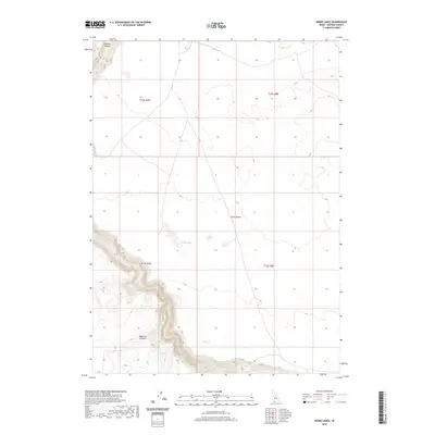
2020 Map of Inside Lakes
USGS Topo · Published 2020About this map
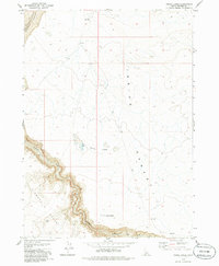
Jarbidge River carves a deep path through the southern plateau of Owyhee County, eventually bordering the wide expanses of the Diamond A Desert. This landscape is defined by its dramatic elevation changes, with the sharp contours of the Bruneau Canyon visible in the northwest corner. The interior of the high desert plateau is marked by a series of seasonal catchments known as the Inside Lakes, situated within the broader Inside Desert region. The mapping shows a vast, undeveloped territory managed under the Public Land Survey System, with township and range lines like t13s r7e and t13s r8e providing the only primary grid across the arid terrain. The map serves as a detailed record of the natural hydrology and topographical transitions of this high-elevation desert environment.
Find a feature on this map
9 named features on this map. Tap any name to fly to it.
Don’t see what you’re looking for? This feature index may not catch every label — zoom into the map to look around manually.
Map Details
Editions of this 2020 Inside Lakes Map
This is the sole edition of this map. No revisions or reprints were ever made.
Other maps of this area

1955 · Twin Falls
USGS Topo · 1:250,000

1958 · Twin Falls
USGS Topo · 1:250,000
1978 · The Arch
USGS Topo · 1:24,000
1979 · Stiff Tree Draw
USGS Topo · 1:24,000
1979 · Indian Hot Springs
USGS Topo · 1:24,000
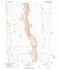
1979 · Triguero Lake
USGS Topo · 1:24,000
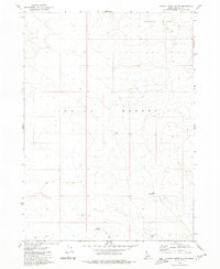
1979 · Clover Butte South
USGS Topo · 1:24,000
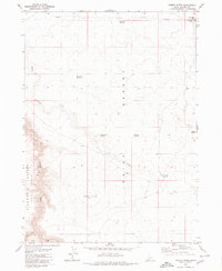
1979 · Poison Butte
USGS Topo · 1:24,000
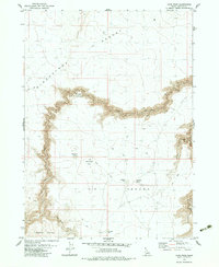
1979 · Cave Draw
USGS Topo · 1:24,000
1979 · Inside Lakes
USGS Topo · 1:24,000