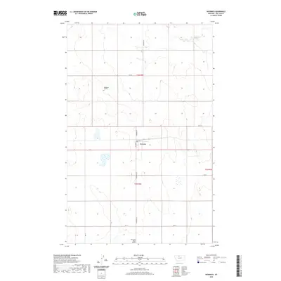
2020 Map of Inverness
USGS Topo · Published 2020About this map
Inverness serves as the central hub of this agricultural landscape in Hill County, Montana. The settlement is organized around a grid including 1st Ave W, 1st St, and 2nd St, situated at a key intersection of local thoroughfares. The surrounding terrain is defined by the subtle drainage patterns of the high plains, most notably the wide depression of Hingham Coulee to the northwest. Water management is a visible priority for this semi-arid region, evidenced by the Prescott Reservoir in the northeast corner and the winding course of the East Fork Black Coulee at the southern edge. The map reveals a strictly regulated township and range system, with gravel roads like Inverness Rd and Rd 20 N tracing the section lines that divide the vast wheat-growing country.
Find a feature on this map
17 named features on this map. Tap any name to fly to it.
Don’t see what you’re looking for? This feature index may not catch every label — zoom into the map to look around manually.
Map Details
Editions of this 2020 Inverness Map
This is the sole edition of this map. No revisions or reprints were ever made.
Other maps of this area
1919 · Alma
USGS Topo · 1:125,000
1954 · Shelby
USGS Topo · 1:250,000
1958 · Shelby
USGS Topo · 1:250,000
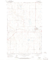
1963 · Joplin
USGS Topo · 1:24,000
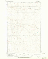
1963 · Chester NE
USGS Topo · 1:24,000
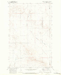
1970 · Poverty Coulee NE
USGS Topo · 1:24,000
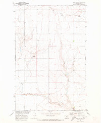
1970 · Rocky Coulee
USGS Topo · 1:24,000
1970 · Een School
USGS Topo · 1:24,000
1972 · Rudyard
USGS Topo · 1:24,000
1972 · Rudyard NW
USGS Topo · 1:24,000