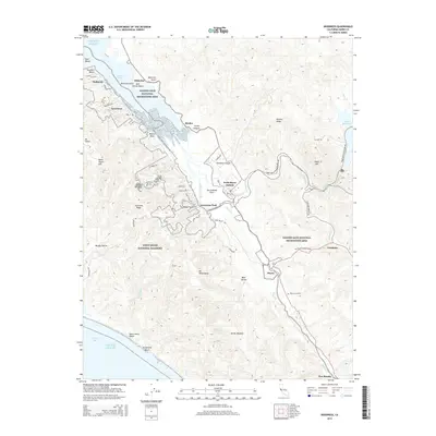
2015 Map of Inverness
USGS Topo · Published 2015About this map
The San Andreas Fault cuts a distinctive diagonal path through this coastal landscape, separating the dramatic heights of Inverness Ridge from the lowlands of Tomales Bay. To the west, the Point Reyes National Seashore protects a wild expanse of terrain including Mt Wittenberg and the secluded Sculptured Beach. The settlement pattern follows the contours of the bay and the creeks, from the established village of Inverness to the tiny rail-era hamlet of Bivalve.
Find a feature on this map
61 named features on this map. Tap any name to fly to it.
Don’t see what you’re looking for? This feature index may not catch every label — zoom into the map to look around manually.
Map Details
Editions of this 2015 Inverness Map
This is the sole edition of this map. No revisions or reprints were ever made.
Other maps of this area
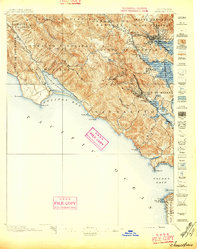
1897 · Tamalpais
USGS Topo · 1:62,500
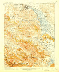
1914 · Petaluma
USGS Topo · 1:62,500
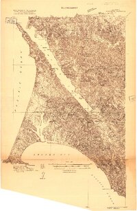
1916 · Point Reyes
USGS Topo · 1:48,000
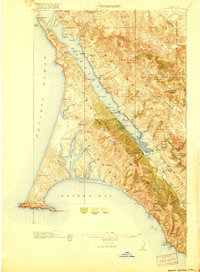
1918 · Point Reyes
USGS Topo · 1:62,500
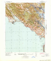
1941 · Tamalpais
USGS Topo · 1:62,500
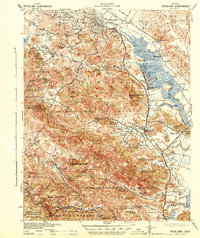
1942 · Petaluma
USGS Topo · 1:62,500
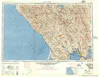
1947 · Santa Rosa
USGS Topo · 1:250,000
1947 · San Francisco
USGS Topo · 1:250,000
1948 · San Francisco
USGS Topo · 1:250,000
1949 · Santa Rosa
USGS Topo · 1:250,000