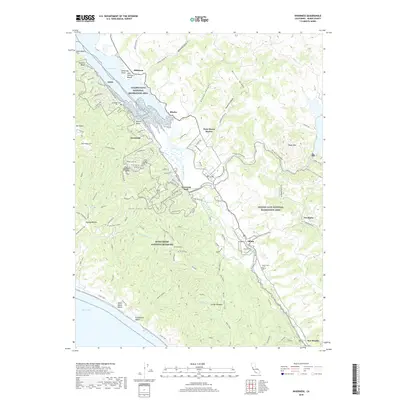
2018 Map of Inverness
USGS Topo · Published 2018About this map
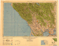
Tomales Bay dominates the northwestern landscape of this Marin County study, where the waters meet the foot of Inverness Ridge. The coastal communities of Inverness and Point Reyes Station serve as anchors for a region defined by its diverse geography, from the marshes of Olema Marsh to the high point of Mt Wittenberg. The map illustrates the complex boundary between public and private lands, showing the Point Reyes National Seashore and Golden Gate National Recreation Area wrapping around established settlements and small outposts like Bivalve and Five Brooks.
Find a feature on this map
87 named features on this map. Tap any name to fly to it.
Don’t see what you’re looking for? This feature index may not catch every label — zoom into the map to look around manually.
Map Details
Editions of this 2018 Inverness Map
This is the sole edition of this map. No revisions or reprints were ever made.
Other maps of this area

1897 · Tamalpais
USGS Topo · 1:62,500
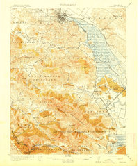
1914 · Petaluma
USGS Topo · 1:62,500
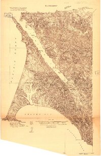
1916 · Point Reyes
USGS Topo · 1:48,000
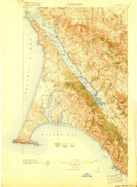
1918 · Point Reyes
USGS Topo · 1:62,500
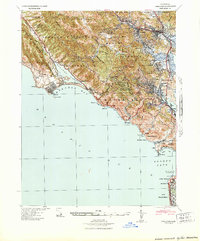
1941 · Tamalpais
USGS Topo · 1:62,500
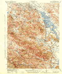
1942 · Petaluma
USGS Topo · 1:62,500

1947 · Santa Rosa
USGS Topo · 1:250,000
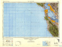
1947 · San Francisco
USGS Topo · 1:250,000
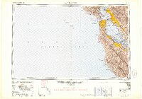
1948 · San Francisco
USGS Topo · 1:250,000
1949 · Santa Rosa
USGS Topo · 1:250,000