Loading...
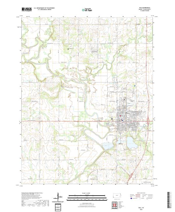
Loading map...2022 Map of Iola
USGS Topo · Published 2022About this map
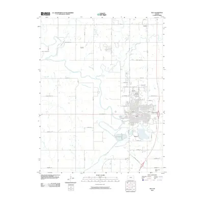
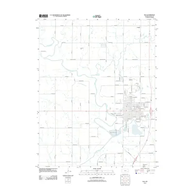
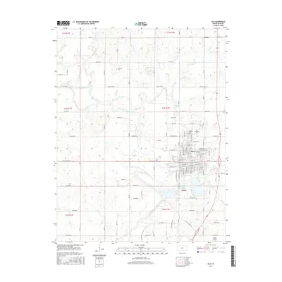
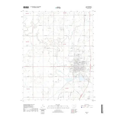
The Neosho River carves a winding path through the center of this Allen County landscape, defining the layout of the county seat and its neighboring communities. In Iola, the street grid is anchored by the Allen County Courthouse and extends north toward the Allen Community College campus. The city’s history is preserved at Highland Cem and Iola Cem, while the smaller industrial enclave of Bassett sits to the south near the shores of Lake Bassett.
Find a feature on this map
47 named features on this map. Tap any name to fly to it.
Don’t see what you’re looking for? This feature index may not catch every label — zoom into the map to look around manually.
Map Details
Date Portrayed2022
Date Published2022
PublisherU.S. Geological Survey
Map TypeTopographic
Scale1:24,000
Physical Dimensions24 x 29 inches
Editions of this 2022 Iola Map
This is the sole edition of this map. No revisions or reprints were ever made.
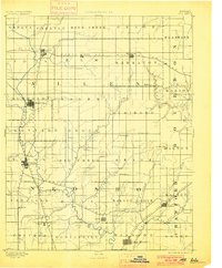
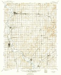
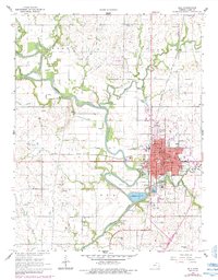
Historical Maps of Iola Through Time
9 maps found

Featured Locations
Source Details
SourceU.S. Geological Survey
CopyrightPublic Domain