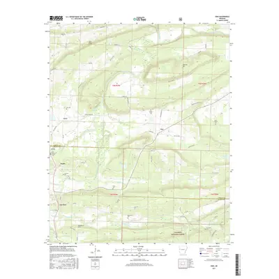
2017 Map of Ione
USGS Topo · Published 2017About this map
The Petit Jean River meanders across this landscape, defining the valley between Sand Ridge and Jennings Mtn. This area near the Logan Co Scott Co line is characterized by small, dispersed settlements like Lucas, Ione, and Elm Park. The map reveals a dense network of family and local history markers, including numerous small burial grounds such as Doss Cem, French Prairie Cem, and Little Cauthron Cem. These cemeteries are often located near old roadway intersections, such as where Earl Prairie Rd meets Brown Rd. To the south, the terrain becomes more protected as it enters the Ouachita National Forest, where the topography shifts toward more significant elevations. Landmarks like Lake Takima and Blueberry Hill further ground the geography of this rural Arkansas river valley.
Find a feature on this map
70 named features on this map. Tap any name to fly to it.
Don’t see what you’re looking for? This feature index may not catch every label — zoom into the map to look around manually.
Map Details
Editions of this 2017 Ione Map
This is the sole edition of this map. No revisions or reprints were ever made.
Other maps of this area
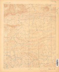
1879 · Poteau Mountain
USGS Topo · 1:62,500
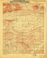
1887 · Poteau Mountain #1
USGS Topo · 1:62,500
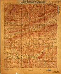
1887 · Mount Ida #2
USGS Topo · 1:62,500
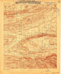
1887 · Magazine Mountain #3
USGS Topo · 1:62,500
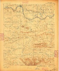
1887 · Magazine Mountain
USGS Topo · 1:62,500
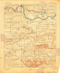
1890 · Magazine Mountain
USGS Topo · 1:125,000
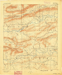
1890 · Mount Ida
USGS Topo · 1:125,000
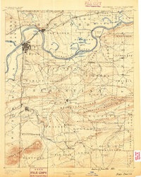
1890 · Fort Smith
USGS Topo · 1:125,000
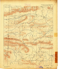
1890 · Poteau Mountain
USGS Topo · 1:125,000
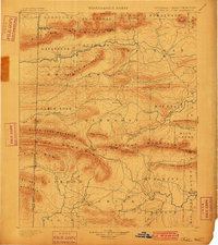
1899 · Poteau Mountain
USGS Topo · 1:125,000