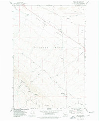
1974 Map of Iowa Flats
USGS Topo · Published 1977About this map
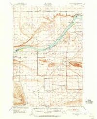
The Hanford Works dominate this mid-1970s landscape in Benton County, illustrating a high-security research and environmental monitoring environment. The terrain is defined by the significant rise of Rattlesnake Mountain and the Rattlesnake Hills, which host specialized installations including the Radio Facility Hartman (3624) Radio Telescope, various Telescopes, and a Heliport. This era of the site's history is further evidenced by the Ecology Reserve Headquarters located near the Iowa Flats.
Find a feature on this map
24 named features on this map. Tap any name to fly to it.
Don’t see what you’re looking for? This feature index may not catch every label — zoom into the map to look around manually.
Map Details
Editions of this 1974 Iowa Flats Map
This is the sole edition of this map. No revisions or reprints were ever made.
Other maps of this area

1915 · Prosser
USGS Topo · 1:125,000
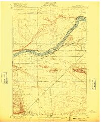
1916 · Coyote Rapids
USGS Topo · 1:62,500

1917 · Pasco
USGS Topo · 1:125,000

1917 · Prosser
USGS Topo · 1:125,000
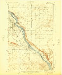
1924 · Hanford
USGS Topo · 1:62,500

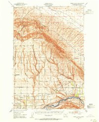
1951 · Richland
USGS Topo · 1:62,500

1951 · Hanford
USGS Topo · 1:62,500
1951 · Corral Canyon
USGS Topo · 1:62,500
1951 · Coyote Rapids
USGS Topo · 1:62,500

1953 · Walla Walla
USGS Topo · 1:250,000