
1951 Map of Richland
USGS Topo · Published 1955About this map
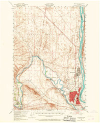
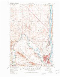
Hanford Works (A E C) dominates the northern landscape of this mid-century survey, reflecting the immense scale of the Atomic Energy Commission's operations. The settlement of Richland appears at a transformative moment, showing the planned residential grid and the Richland Airport serving the high-security installation. To the south and west, the agricultural foundations of the region remain visible through the extensive irrigation network, including the Horn Rapids Ditch, Columbia Canal, and several sections of Abandoned Canal. The confluence of the Yakima River and the Columbia River serves as the geographic anchor for the region's transport, where the Union Pacific railroad tracks pass through Benton City and Kiona. Notable local landmarks such as Grosseup Ranch and the distinctive bend at The Horn provide fine-grained detail for those tracing the development of Benton County's industrial and ranching history.
Find a feature on this map
36 named features on this map. Tap any name to fly to it.
Don’t see what you’re looking for? This feature index may not catch every label — zoom into the map to look around manually.
Map Details
Editions of this 1951 Richland Map
3 editions found
Other maps of this area

1915 · Prosser
USGS Topo · 1:125,000

1916 · Coyote Rapids
USGS Topo · 1:62,500

1917 · Pasco
USGS Topo · 1:125,000

1917 · Prosser
USGS Topo · 1:125,000

1924 · Hanford
USGS Topo · 1:62,500

1925 · Scooteney Lake
USGS Topo · 1:62,500

1951 · Scooteney Lake
USGS Topo · 1:62,500

1951 · Hanford
USGS Topo · 1:62,500

1951 · Corral Canyon
USGS Topo · 1:62,500

1951 · Coyote Rapids
USGS Topo · 1:62,500