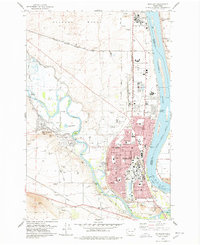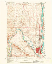
1951 Map of Richland
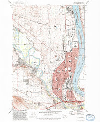
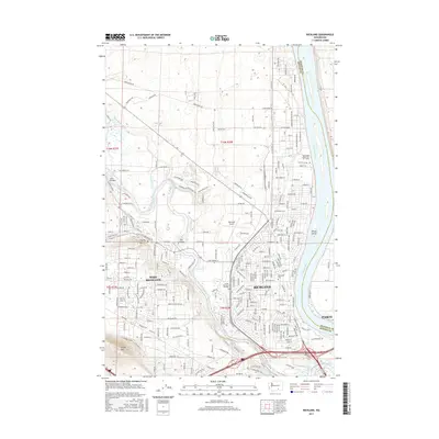
USGS Topo · Published 1967About this map
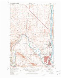
The massive installation of the Hanford Works (A E C) dominates this mid-century landscape at the confluence of the Columbia River and the Yakima River. This 1951 field-checked survey illustrates the Cold War era growth of Richland and the specialized infrastructure supporting the Atomic Energy Commission, including the Richland Airport (A E C) and North Richland. The irrigation-dependent agriculture of the region is evident through the network of the Columbia Canal, Horn Rapids Ditch, and Kiona Canal which draw water from the Horn Rapids Dam. To the southwest, the Union Pacific railroad services the older riverside settlements of Benton City and Kiona, while infrastructure like Acton Siding and Grosseup Siding reflects the vital role of rail transport in the area's development. Shifting terrain, such as the Shifting Sand Dunes to the north and the prominent Red Mountain, creates a stark contrast with the engineered landscape of the Hanford site.
Find a feature on this map
33 named features on this map. Tap any name to fly to it.
Don’t see what you’re looking for? This feature index may not catch every label — zoom into the map to look around manually.
Map Details
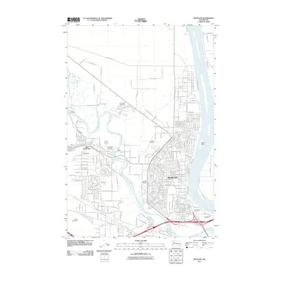
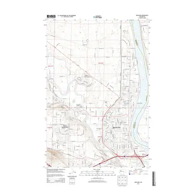
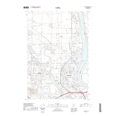
Editions of this 1951 Richland Map
3 editions found

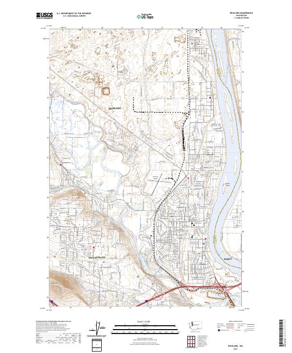
Historical Maps of Pasco Through Time
8 maps found