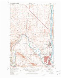
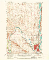
1951 Map of Richland
USGS Topo · Published 1980About this map
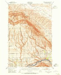
The Hanford Works (A E C) dominates the northern landscape of this mid-century survey, reflecting the immense footprint of the Atomic Energy Commission in the Tri-Cities region. The development of Richland as a planned government community is evident in the structured street grids near the confluence of the Columbia River and Yakima River. This era shows a community in transition, where old agricultural markers like the Grosscup Ranch and the Abandoned Canal exist alongside new aviation infrastructure like the Richland Airport (A E C).
Find a feature on this map
31 named features on this map. Tap any name to fly to it.
Don’t see what you’re looking for? This feature index may not catch every label — zoom into the map to look around manually.
Map Details
Editions of this 1951 Richland Map
3 editions found
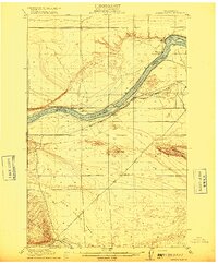
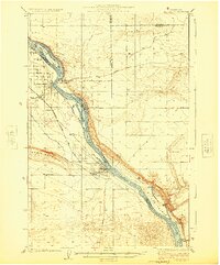
Other maps of this area

1915 · Prosser
USGS Topo · 1:125,000
1916 · Coyote Rapids
USGS Topo · 1:62,500

1917 · Pasco
USGS Topo · 1:125,000

1917 · Prosser
USGS Topo · 1:125,000
1924 · Hanford
USGS Topo · 1:62,500

1925 · Scooteney Lake
USGS Topo · 1:62,500

1951 · Scooteney Lake
USGS Topo · 1:62,500

1951 · Richland
USGS Topo · 1:62,500

1951 · Hanford
USGS Topo · 1:62,500
1951 · Corral Canyon
USGS Topo · 1:62,500