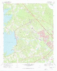
1971 Map of Irmo
USGS Topo · Published 1973About this map
Lake Murray dominates the western edge of this 1971 revision, its irregular shoreline reaching into the hills of Richland and Lexington Counties. The Columbia Newberry and Laurens railroad serves as a structural spine for the region, connecting the rural community of Ballentine to the growing center of Irmo. This era reflects a transition from traditional agrarian land use to suburban expansion, evidenced by the development of neighborhoods like Challedon and Whitehall alongside established landmarks such as the Harbison Institute and the sprawling Harbison State Forest.
Find a feature on this map
63 named features on this map. Tap any name to fly to it.
Don’t see what you’re looking for? This feature index may not catch every label — zoom into the map to look around manually.
Map Details
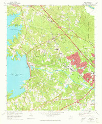
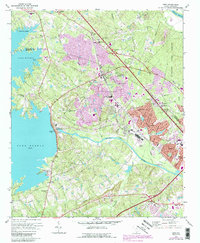
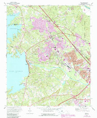
Editions of this 1971 Irmo Map
4 editions found
Other maps of this area

1904 · Columbia
USGS Topo · 1:125,000

1941 · Spartanburg
USGS Topo · 1:250,000

1944 · Gilbert
USGS Topo · 1:62,500

1944 · Edmund
USGS Topo · 1:62,500

1946 · Irmo
USGS Topo · 1:24,000

1947 · Columbia North
USGS Topo · 1:24,000

1947 · Richtex
USGS Topo · 1:24,000

1948 · Irmo
USGS Topo · 1:24,000

1948 · Columbia North
USGS Topo · 1:24,000

1949 · Richtex
USGS Topo · 1:24,000