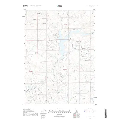
2018 Map of Iron Gate Reservoir
USGS Topo · Published 2018About this map
Iron Gate Reservoir dominates this Siskiyou County landscape, where the waters of the Klamath River are impounded amidst a complex of ridges and canyons. The map reveals a residential network of winding roads and drives along the reservoir's eastern and southern shores, with street names like Sea Horse Ln, Marlin Dr, and Blue Gill Dr reflecting the area's aquatic focus.
Find a feature on this map
113 named features on this map. Tap any name to fly to it.
Don’t see what you’re looking for? This feature index may not catch every label — zoom into the map to look around manually.
Map Details
Editions of this 2018 Iron Gate Reservoir Map
This is the sole edition of this map. No revisions or reprints were ever made.
Other maps of this area
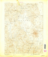
1886 · Shasta
USGS Topo · 1:250,000
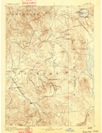
1891 · Ashland
USGS Topo · 1:250,000
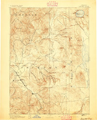
1893 · Ashland
USGS Topo · 1:250,000
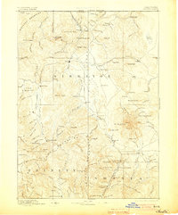
1894 · Shasta
USGS Topo · 1:250,000
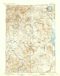
1897 · Ashland
USGS Topo · 1:250,000
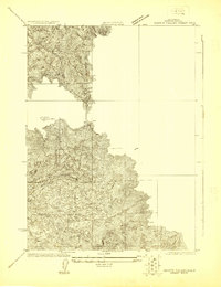
1922 · Shasta Valley Sheet No 13
USGS Topo · 1:24,000
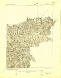
1922 · Shasta Valley Sheet No 16
USGS Topo · 1:24,000
1922 · Shasta Valley Sheet No 15
USGS Topo · 1:24,000
1922 · Shasta Valley Sheet No 14
USGS Topo · 1:24,000
1932 · Yreka
USGS Topo · 1:96,000