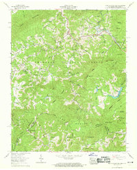
1960 Map of Iron Mountain Gap
USGS Topo · Published 1969About this map
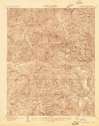
Stone Mountain and Iron Mountain dominate this 1960s survey of the high country straddling the Tennessee and North Carolina border. The landscape is defined by the sharp divide between the Cherokee National Forest and Pisgah National Forest, where the Appalachian Trail follows the ridgeline through Iron Mountain Gap. Down in the valleys, small communities like Piney Grove and Tiger Valley are situated along the Little Doe River, while higher elevations feature isolated settlements such as Tolley Town and Clarketown.
Find a feature on this map
67 named features on this map. Tap any name to fly to it.
Don’t see what you’re looking for? This feature index may not catch every label — zoom into the map to look around manually.
Map Details
Editions of this 1960 Iron Mountain Gap Map
4 editions found
Other maps of this area

1891 · Roan Mountain
USGS Topo · 1:125,000

1894 · Roan Mountain
USGS Topo · 1:125,000

1904 · Roan Mountain
USGS Topo · 1:125,000

1934 · White Rocks Mtn
USGS Topo · 1:24,000

1934 · Bakersville
USGS Topo · 1:24,000

1934 · Iron Mtn Gap
USGS Topo · 1:24,000
1934 · Carvers Gap
USGS Topo · 1:24,000

1935 · Watauga Valley
USGS Topo · 1:48,000

1935 · Huntdale
USGS Topo · 1:24,000

1935 · Elizabethton
USGS Topo · 1:24,000