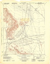
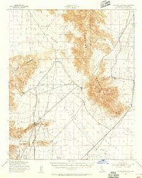
1943 Map of Iron Mountains
USGS Topo · Published 1944About this map
The Iron Mountain Pumping Plant serves as a critical infrastructure hub on this 1943 military survey, highlighting the massive engineering required to move water through the California desert. Prepared for the California-Arizona Maneuver Area, the map documents the early operations of the Metropolitan Aqueduct and its accompanying Tunnel systems that pierce the Iron Mountains. Evidence of wartime utility is clear, with the Army Pump Sta and various water points like Salt Marsh Tank and W-40 scattered across the arid landscape. To the north, the Atchison Topeka and Santa Fe railroad crosses the northern edge of Danby Lake (Dry), while the Granite Shaft in the southern Granite Mountains points to the area's mineral exploration history during this mid-century period of rapid mobilization.
Find a feature on this map
22 named features on this map. Tap any name to fly to it.
Don’t see what you’re looking for? This feature index may not catch every label — zoom into the map to look around manually.
Map Details
Editions of this 1943 Iron Mountains Map
This is the sole edition of this map. No revisions or reprints were ever made.
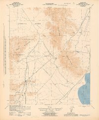
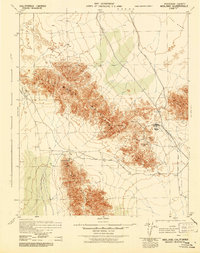
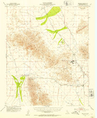
Other maps of this area

1942 · Blythe
USGS Topo · 1:250,000

1942 · Amboy
USGS Topo · 1:250,000

1943 · Amboy
USGS Topo · 1:250,000
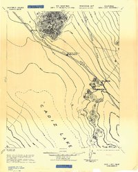
1943 · Cadiz Lake
USGS Topo · 1:62,500
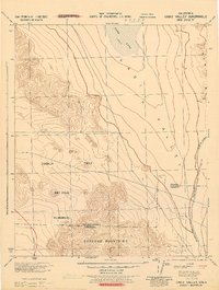
1943 · Cadiz Valley
USGS Topo · 1:62,500
1943 · Turtle Mts.
USGS Topo · 1:62,500
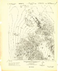
1943 · Coxcomb Mountains
USGS Topo · 1:62,500
1944 · Coxcomb Mountains
USGS Topo · 1:62,500
1945 · Midland
USGS Topo · 1:62,500
1952 · Midland
USGS Topo · 1:62,500