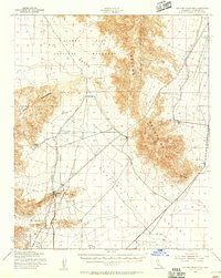
1944 Map of Coxcomb Mountains
USGS Topo · Published 1945About this map
The Eagle Mtn Aqueduct Sta serves as a critical infrastructure point in this 1944 War Department survey of the California desert. The map captures a landscape defined by the intersection of the Eagle Mountains and the Coxcomb Mountains, providing a detailed look at the water-conveyance routes vital to Southern California's growth during the mid-century. A large portion of the western sheet is dedicated to the Joshua Tree National Monument, bordering the vast Pinto Basin.
Find a feature on this map
35 named features on this map. Tap any name to fly to it.
Don’t see what you’re looking for? This feature index may not catch every label — zoom into the map to look around manually.
Map Details
Editions of this 1944 Coxcomb Mountains Map
This is the sole edition of this map. No revisions or reprints were ever made.
Other maps of this area
1940 · Canyon Spring
USGS Topo · 1:62,500

1942 · Amboy
USGS Topo · 1:250,000

1943 · Amboy
USGS Topo · 1:250,000
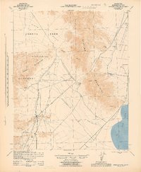
1943 · Cadiz Valley
USGS Topo · 1:62,500
1943 · Iron Mountains
USGS Topo · 1:62,500

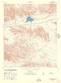
1943 · Canyon Spring
USGS Topo · 1:62,500
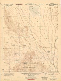
1943 · Coxcomb Mountains
USGS Topo · 1:62,500
1944 · Eagle Tank
USGS Topo · 1:62,500
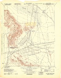
1944 · Chuckwalla Mountains
USGS Topo · 1:62,500
1952 · Sidewinder Well
USGS Topo · 1:62,500