Old Maps of Desert Center, Riverside County
Explore 32 old maps of Desert Center, spanning from 1943 to today. These high-resolution historic maps reveal how streets, neighborhoods, landmarks, and natural features evolved over time — perfect for genealogy, metal detecting, research, and local history exploration.
What you can do with these maps:
- See how Desert Center changed over time: Compare historical maps to modern-day views to trace roads, homesites, rail lines & more.
- View detailed metadata: Each map includes creators, publishers, year, scale, and archive source.
- Overlay maps with satellite & LiDAR: Visualize the past alongside modern tools to explore terrain & human change.
- Trusted historical sources: Maps sourced from the USGS, Library of Congress, and other archives.
- Access maps your way: View online, download high-res files, or order prints for personal or research use.
Start exploring old maps of Desert Center to uncover forgotten places, hidden landmarks, and the deep history beneath your feet.
Desert Center, Riverside County maps
(32)- 1943 Map of Coxcomb Mountains, 1956 Print
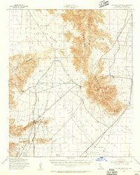 1943 Coxcomb Mountains1956 Print · USGSThe Colorado Desert in the early 1940s reveals a landscape of massive engineering projects and protected wilderness. Trace the route of the Colorado River Aqueduct and the original boundaries of Joshua Tree National Monument near the CAA Intermediate Landing Field.2 unique versions available
 - 1944 Map of Chuckwalla Mountains, 1945 Print
 1944 Chuckwalla Mountains1945 Print · USGSThe Chuckwalla Mountains are mapped here during the mid-forties, highlighting a desert interior of mining prospects and vital water holes. Trace old mineral claims at the Lost Pony Mine or the remote oasis at Corn Springs.3 unique versions available
 - 1944 Map of Coxcomb Mountains, 1945 Print
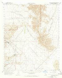
 1944 Coxcomb Mountains1945 Print · USGSRiverside County's high desert reveals its mid-century infrastructure and topography in this World War II-era military survey. Researchers can trace the Eagle Mtn Aqueduct Sta and locate sites like Briesta near the Coxcomb Mountains.
 - 1954 Map of Salton Sea
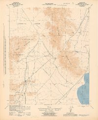
 1954 Salton Sea1954 Print · USGSThe Colorado River and Imperial Valley desert frontiers are captured here in the 1950s. Trace the irrigation networks of Calipatria and mining sites like Eagle Mountain Mine.
 - 1955 Map of Salton Sea
 1955 Salton Sea1955 Print · USGSThe Colorado River and Imperial Valley desert basins appear here during the mid-fifties, revealing a landscape of remote mines and agricultural irrigation. Genealogists and researchers can trace locations like the Parker Alien Reception Center Unit No 1, Blythe, and the Kane Springs School.2 unique versions available
 - 1959 Map of Salton Sea, 1968 Print
 1959 Salton Sea1968 Print · USGSThe Colorado River and Salton Sea basin are shown here during a decade of intense military and agricultural activity. Trace family roots in Blythe or Niland, and locate historical mining operations like the Eagle Mountain Mine and Red Cloud Mine.4 unique versions available
 - 1963 Map of Salton Sea
 1963 Salton Sea1963 Print · USGSThe Colorado Desert during the early sixties shows a landscape defined by massive water projects and Cold War military ranges. Trace the growth of Salton City and Brawley, or locate remote desert outposts like the Paymaster Mine and Desert Center.
 - 1963 Map of Chuckwalla Mountains, 1965 Print
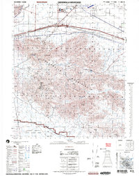
 1963 Chuckwalla Mountains1965 Print · USGSThe Riverside County desert comes into focus in the 1960s, showing a landscape defined by mining operations and increasing military presence. Researchers can trace the legacy of remote outposts like Desert Center or locate historic extraction sites such as the Red Cloud Mine and Lost Pony Mine.3 unique versions available
 - 1963 Map of Coxcomb Mountains, 1965 Print
 1963 Coxcomb Mountains1965 Print · USGSThe Colorado desert comes into sharp focus during the early sixties, showing the intersection of heavy industry and protected wilderness. Researchers can trace the path of the Colorado River Aqueduct and locate facilities at Eagle Mountain and Pinto Wells.2 unique versions available
 - 1965 Map of Salton Sea
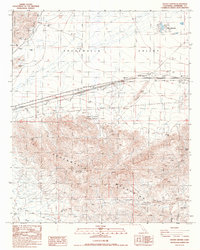
 1965 Salton Sea1965 Print · USGSThe Colorado Desert and Imperial Valley are caught in a period of intense irrigation and military expansion during the mid-sixties. Researchers can trace the desert's industrial footprint through the Eagle Mountain Mine, the remote Desert Center, and the Salton Sea Test Base.
 - 1986 Map of Desert Center
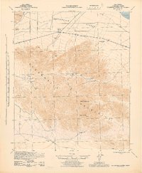
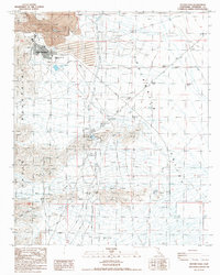
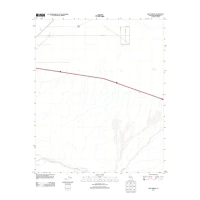
 1986 Desert Center1986 Print · USGSThe Riverside County desert in the mid-1980s reveals a unique landscape of conservation and mining at the edge of the Chuckwalla Mountains. Genealogists and historians can trace the development of Desert Center and Lake Tamrisk or locate remote sites like the Red Cloud Mine and Corn Springs.
 - 1986 Map of Eagle Mountains
 1986 Eagle Mountains1986 Print · USGSRiverside County's high desert was a hub of mining and water infrastructure in the mid-eighties. Genealogists and desert historians can trace remote outposts like Desert Center, early mining sites including the Paymaster Mine, and the vital Coachella Canal.2 unique versions available
 - 1986 Map of Corn Spring
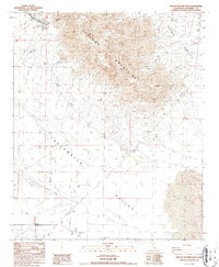
 1986 Corn Spring1986 Print · USGSThe arid reaches of Riverside County are captured here in the mid-1980s, where the high peaks meet the desert floor. Researchers can locate remote sites like Aztec Well Graves, the historic Gruendikes Well (Site), and the oasis at Corn Spring.
 - 1987 Map of Victory Pass
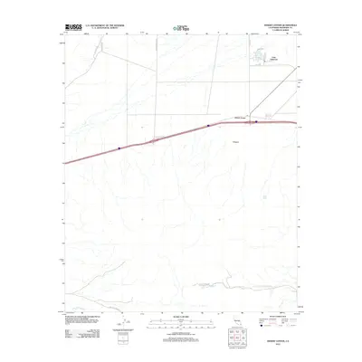
 1987 Victory Pass1987 Print · USGSRiverside County’s desert mining industry is in full view during the late eighties as the iron operations at the Eagle Mountain Mine reach their peak. Researchers can trace the layout of the Eagle Mountain townsite, the Eagle Mountain Sch, and remote desert landmarks like Victory Pass.
 - 1987 Map of East of Victory Pass
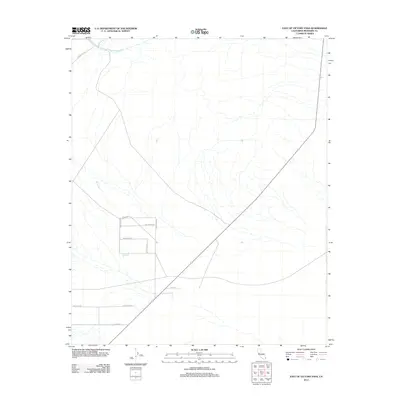
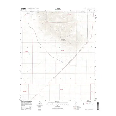
 1987 East of Victory Pass1987 Print · USGSRiverside County’s desert interior is captured in the late eighties as a landscape of isolated industry and striking geology. Researchers can trace early mineral exploration through various prospects or locate infrastructure like the Desert Center Airport and the wells of Chuckwalla Valley.
 - 2002 Map of Chuckwalla Mountains, 2004 Print
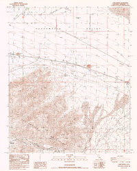
 2002 Chuckwalla Mountains2004 Print · USGSThe Riverside County desert at the start of the twenty-first century reveals a landscape of remote wells, modern recreational enclaves, and expansive military territory. Researchers can locate the Gruendikes Well (Site), the settlement at Desert Center, and old mining Prospects near Black Butte.
 - 2012 Map of Victory Pass, 2012 Print
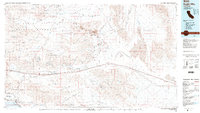
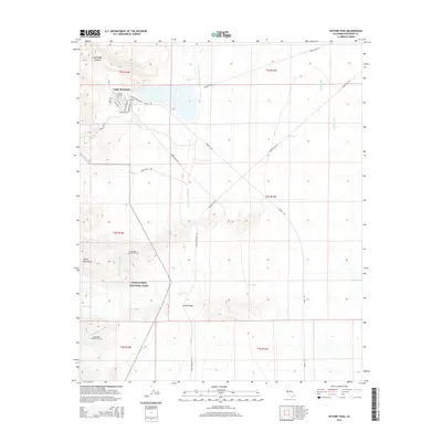
 2012 Victory Pass2012 Print · USGSCovers Desert Center, including Eagle Mountain, Riverside County, and other nearby areas
 - 2012 Map of Corn Spring, 2012 Print
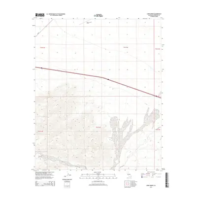
 2012 Corn Spring2012 Print · USGSCovers Desert Center, including Riverside County, United States, and other nearby areas
 - 2012 Map of East of Victory Pass, 2012 Print
 2012 East of Victory Pass2012 Print · USGSCovers Desert Center, including Riverside County, United States, and other nearby areas
 - 2012 Map of Desert Center, 2012 Print
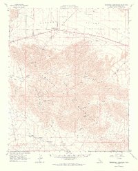
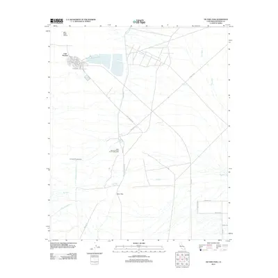
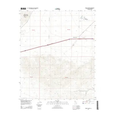
 2012 Desert Center2012 Print · USGSCovers Desert Center, including Lake Tamarisk, Riverside County, and other nearby areas
 - 2015 Map of East of Victory Pass, 2015 Print
 2015 East of Victory Pass2015 Print · USGSCovers Desert Center, including Riverside County, United States, and other nearby areas
 - 2015 Map of Desert Center, 2015 Print
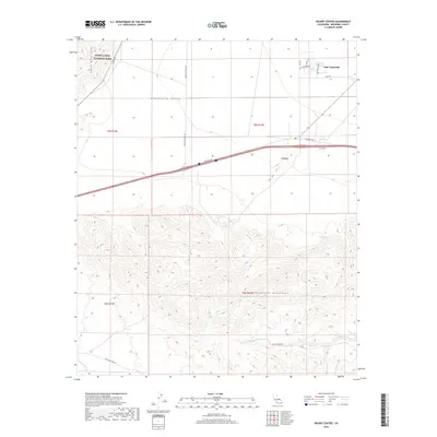
 2015 Desert Center2015 Print · USGSCovers Desert Center, including Lake Tamarisk, Riverside County, and other nearby areas
 - 2015 Map of Corn Spring, 2015 Print
 2015 Corn Spring2015 Print · USGSCovers Desert Center, including Riverside County, United States, and other nearby areas
 - 2015 Map of Victory Pass, 2015 Print
 2015 Victory Pass2015 Print · USGSCovers Desert Center, including Eagle Mountain, Riverside County, and other nearby areas
 - 2018 Map of Desert Center, 2018 Print
 2018 Desert Center2018 Print · USGSCovers Desert Center, including Lake Tamarisk, Riverside County, and other nearby areas
Showing maps 1-25 of 32
Frequently asked questions
- What are the different types of historical maps available for Desert Center?
- What is the oldest map of Desert Center?
- Where can I purchase historical maps of Desert Center for my home or office?
- Where can I download high-res historical maps of Desert Center?
- Are there historical topographic maps available for Desert Center?
- Is there historical aerial imagery available for Desert Center?
- Where are historical maps of Desert Center sourced from?