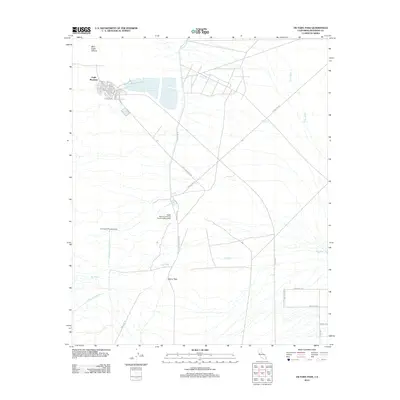
2012 Map of Victory Pass
USGS Topo · Published 2012About this map
Eagle Mountain serves as the primary focal point of this desert landscape, showing an organized grid of residential streets including Park Dr, Oleander Dr, and Smoketree Dr. This remote industrial and residential enclave is deeply tied to the surrounding topography and infrastructure, most notably the path of the Colorado River Aqueduct as it moves toward the East Eagle Mountain Tunnel.
Find a feature on this map
31 named features on this map. Tap any name to fly to it.
Don’t see what you’re looking for? This feature index may not catch every label — zoom into the map to look around manually.
Map Details
Editions of this 2012 Victory Pass Map
This is the sole edition of this map. No revisions or reprints were ever made.
Other maps of this area

1940 · Canyon Spring
USGS Topo · 1:62,500

1943 · Canyon Spring
USGS Topo · 1:62,500

1943 · Coxcomb Mountains
USGS Topo · 1:62,500

1944 · Eagle Tank
USGS Topo · 1:62,500

1944 · Chuckwalla Mountains
USGS Topo · 1:62,500

1944 · Coxcomb Mountains
USGS Topo · 1:62,500

1954 · Salton Sea
USGS Topo · 1:250,000

1955 · Salton Sea
USGS Topo · 1:250,000

1959 · Salton Sea
USGS Topo · 1:250,000

1963 · Salton Sea
USGS Topo · 1:250,000