
1959 Map of Salton Sea
USGS Topo · Published 1968About this map
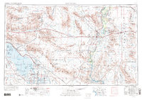
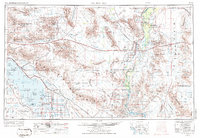
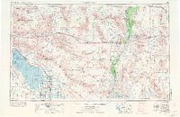
The Salton Sea dominates the western basin of this desert landscape, its southern shores lined with a complex network of irrigation infrastructure including the Coachella Canal, East Highline Canal, and Vail Supply Canal. To the east, the Colorado River serves as the boundary between California and Arizona, sustaining the Colorado River Indian Reservation and agricultural hubs like Blythe and Ripley. This 1960s perspective reveals the heavy imprint of mid-century federal presence, from the Salton Sea Test Base on the water's edge to the expansive Chocolate Mountain Aerial Gunnery Range stretching across the Chocolate Mountains. Industrial extraction is visible through dozens of labeled sites such as the Eagle Mountain Mine, Arlington Mine, and Red Cloud Mine. Between these active zones lie the protected lands of Joshua Tree National Monument and the Kofa National Game Range, highlighting the era's balance of military, mining, and conservation interests.
Find a feature on this map
186 named features on this map. Tap any name to fly to it.
Don’t see what you’re looking for? This feature index may not catch every label — zoom into the map to look around manually.
Map Details
Editions of this 1959 Salton Sea Map
4 editions found
Other maps of this area

1903 · Yuma
USGS Topo · 1:125,000

1904 · Indio
USGS Topo · 1:125,000

1905 · Yuma
USGS Topo · 1:125,000

1907 · Holtville
USGS Topo · 1:125,000

1911 · Parker
USGS Topo · 1:125,000

1915 · El Centro
USGS Topo · 1:125,000

1923 · Signal
USGS Topo · 1:250,000

1928 · Norton
USGS Topo · 1:62,500

1929 · Laguna
USGS Topo · 1:62,500

1929 · Norton
USGS Topo · 1:62,500