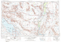
1959 Map of Salton Sea
USGS Topo · Published 1972About this map
The Colorado River corridor and the desert interior are defined here by a massive mid-century military presence and irrigation-driven agriculture. Vast training and testing grounds such as the Chocolate Mountain Aerial Gunnery Range (Naval) and the Yuma Proving Ground (Army) occupy much of the arid terrain between the river and the Salton Sea. Near the water, the Salton Sea Test Base (Naval) and the Planned Space Position Range (Naval) underscore the region's importance to aerospace and defense during the Cold War era.
Find a feature on this map
109 named features on this map. Tap any name to fly to it.
Don’t see what you’re looking for? This feature index may not catch every label — zoom into the map to look around manually.
Map Details
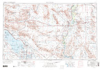
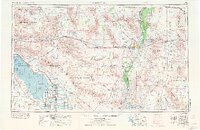
Editions of this 1959 Salton Sea Map
4 editions found

Other maps of this area

1903 · Yuma
USGS Topo · 1:125,000

1904 · Indio
USGS Topo · 1:125,000

1905 · Yuma
USGS Topo · 1:125,000

1907 · Holtville
USGS Topo · 1:125,000

1911 · Parker
USGS Topo · 1:125,000

1915 · El Centro
USGS Topo · 1:125,000

1923 · Signal
USGS Topo · 1:250,000

1928 · Norton
USGS Topo · 1:62,500

1929 · Laguna
USGS Topo · 1:62,500

1929 · Norton
USGS Topo · 1:62,500