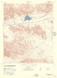
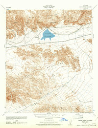
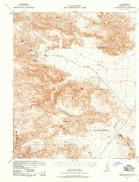
1940 Map of Canyon Spring
USGS Topo · Published 1957About this map
The Hayfield Reservoir serves as a focal point for this desert landscape, situated at the base of the Eagle Mountains. This 1940 survey by the War Department and Corps of Engineers documents a critical infrastructure corridor in Riverside County just before the mid-century expansion of the region. The map highlights the early development of Hayfield and the isolated Skylark Ranch, providing a window into the remote agricultural and ranching efforts of the era.
Find a feature on this map
20 named features on this map. Tap any name to fly to it.
Don’t see what you’re looking for? This feature index may not catch every label — zoom into the map to look around manually.
Map Details
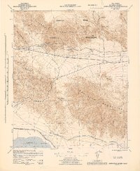
Editions of this 1940 Canyon Spring Map
2 editions found
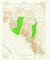
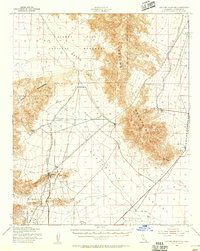
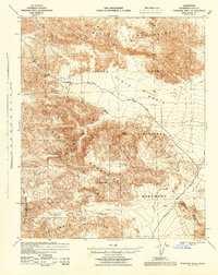
Other maps of this area

1940 · Frink
USGS Topo · 1:62,500

1940 · Cottonwood Spring
USGS Topo · 1:62,500
1940 · Iris Pass
USGS Topo · 1:62,500

1940 · Durmid
USGS Topo · 1:62,500

1943 · Canyon Spring
USGS Topo · 1:62,500
1943 · Coxcomb Mountains
USGS Topo · 1:62,500
1943 · Pinkham Well
USGS Topo · 1:62,500
1944 · Cottonwood Spring
USGS Topo · 1:62,500
1944 · Pinkham Well
USGS Topo · 1:62,500

1944 · Durmid
USGS Topo · 1:62,500