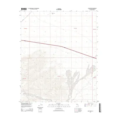
2015 Map of Corn Spring
USGS Topo · Published 2015About this map
Corn Spring serves as a vital water source in this arid expanse of Riverside County, where the desert floor meets the rising slopes of the surrounding ranges. The landscape is defined by the ephemeral Corn Springs Wash, which drains the alluvial fans that spread across the terrain. Human presence in this isolated corridor is concentrated around transport and utility, evidenced by the Desert Center Airport to the north and the path of Corn Springs Rd leading into the interior. The map illustrates a harsh environment where elevation gains are marked by sharp contour lines, highlighting the contrast between the flat desert basins and the steep, rocky ridges that hem in the seasonal drainage systems. The presence of Rice Rd further delineates the limited network of travel through this part of the Colorado Desert.
Find a feature on this map
11 named features on this map. Tap any name to fly to it.
Don’t see what you’re looking for? This feature index may not catch every label — zoom into the map to look around manually.
Map Details
Editions of this 2015 Corn Spring Map
This is the sole edition of this map. No revisions or reprints were ever made.
Other maps of this area

1943 · Coxcomb Mountains
USGS Topo · 1:62,500

1944 · Chuckwalla Mountains
USGS Topo · 1:62,500

1944 · Coxcomb Mountains
USGS Topo · 1:62,500

1952 · Sidewinder Well
USGS Topo · 1:62,500

1952 · Palen Mountains
USGS Topo · 1:62,500

1954 · Salton Sea
USGS Topo · 1:250,000

1955 · Salton Sea
USGS Topo · 1:250,000

1959 · Salton Sea
USGS Topo · 1:250,000

1963 · Salton Sea
USGS Topo · 1:250,000

1963 · Chuckwalla Mountains
USGS Topo · 1:62,500