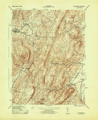
1944 Map of Iron Springs
USGS Topo · Published 1944About this map
Mont Alto Sanatorium and its distinctive South Mtn Sanatorium White Tower dominate the high ridges of the South Mountain range on this 1944 War Department survey. The map reveals a landscape defined by significant healthcare and conservation efforts, featuring the sprawling Michaux State Forest and Mont Alto State Forest. These public lands are crisscrossed by the Appalachian Trail, which winds through landmark rock formations like Chimney Rocks and Buzzard Pk.
Find a feature on this map
62 named features on this map. Tap any name to fly to it.
Don’t see what you’re looking for? This feature index may not catch every label — zoom into the map to look around manually.
Map Details
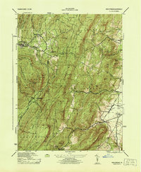
Editions of this 1944 Iron Springs Map
2 editions found
Other maps of this area

1902 · Chambersburg
USGS Topo · 1:62,500

1909 · Fairfield
USGS Topo · 1:62,500

1909 · Hagerstown
USGS Topo · 1:48,000

1911 · Emmitsburg
USGS Topo · 1:62,500

1912 · Hagerstown
USGS Topo · 1:62,500

1942 · Hagerstown
USGS Topo · 1:125,000

1942 · Gettysburg
USGS Topo · 1:125,000

1943 · Emmitsburg
USGS Topo · 1:62,500

1943 · Hagerstown
USGS Topo · 1:125,000

1943 · Chambersburg
USGS Topo · 1:62,500
Featured Places
- Quincy Township, PA
- Guilford Township, PA
- Franklin Township, PA
- Hamiltonban Township, PA
- Maria Furnace, Hamiltonban Township