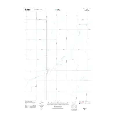
2013 Map of Irwin
USGS Topo · Published 2013About this map
The W Nishnabotna River flows through this southwestern Iowa landscape, anchored by the town of Irwin. In this 2013 survey, the settlement of Irwin is depicted as a primary local hub, where several streets including Avenue M, Walnut St, and Ann St converge. The agricultural character of Shelby County is evident in the rectilinear grid of section roads that partition the terrain, while natural drainages like Elk Cr and Long Br cut across the organized farmland.
Find a feature on this map
40 named features on this map. Tap any name to fly to it.
Don’t see what you’re looking for? This feature index may not catch every label — zoom into the map to look around manually.
Map Details
Editions of this 2013 Irwin Map
This is the sole edition of this map. No revisions or reprints were ever made.
Other maps of this area

1954 · Omaha
USGS Topo · 1:250,000

1957 · Omaha
USGS Topo · 1:250,000

1958 · Omaha
USGS Topo · 1:250,000

1971 · Earling NE
USGS Topo · 1:24,000

1971 · Defiance
USGS Topo · 1:24,000

1978 · Manilla
USGS Topo · 1:24,000

1978 · Irwin
USGS Topo · 1:24,000

1978 · Kimballton
USGS Topo · 1:24,000

1978 · Manning
USGS Topo · 1:24,000
1978 · Harlan
USGS Topo · 1:24,000