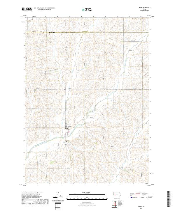
2022 Map of Irwin
USGS Topo · Published 2022About this map
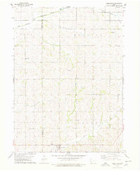
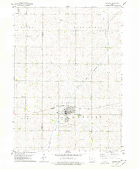
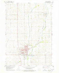
Irwin sits at the heart of this Western Iowa agricultural landscape, where the local street grid including Bella St, Ann St, and Cora St gives way to the section-line roads of Shelby County. The town is situated just north of where the West Nishnabotna River winds through the bottomlands, joined by tributaries like Elk Creek and Long Branch. To the northeast, the smaller settlement of Botna marks another point of historical interest along the border of Crawford and Shelby Counties. The map reveals a highly structured rural environment defined by its township boundaries and a network of named county roads such as Street F16 and Street F24. Genealogists and local historians can locate Oak Hill Cemetery south of town, providing a precise spatial context for early family records in Jefferson and Polk Townships.
Find a feature on this map
43 named features on this map. Tap any name to fly to it.
Don’t see what you’re looking for? This feature index may not catch every label — zoom into the map to look around manually.
Map Details
Editions of this 2022 Irwin Map
This is the sole edition of this map. No revisions or reprints were ever made.
Other maps of this area

1954 · Omaha
USGS Topo · 1:250,000

1957 · Omaha
USGS Topo · 1:250,000

1958 · Omaha
USGS Topo · 1:250,000
1971 · Earling NE
USGS Topo · 1:24,000
1971 · Defiance
USGS Topo · 1:24,000
1978 · Manilla
USGS Topo · 1:24,000

1978 · Irwin
USGS Topo · 1:24,000
1978 · Kimballton
USGS Topo · 1:24,000
1978 · Manning
USGS Topo · 1:24,000
1978 · Harlan
USGS Topo · 1:24,000