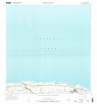
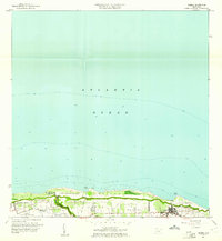
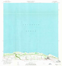
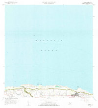
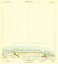
1960 Map of Isabela
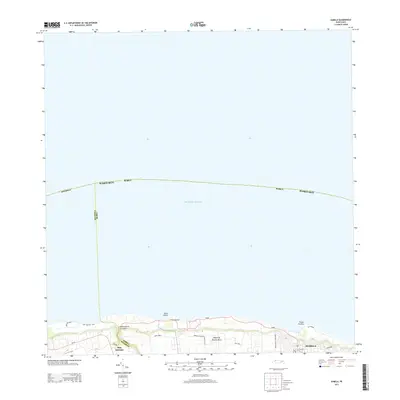
USGS Topo · Published 1985About this map
Isabela anchors this coastline of northwestern Puerto Rico, where the land drops sharply from the inland barrios toward the Atlantic Ocean. The survey highlights the municipal boundary between Isabela and Aguadilla, illustrating a landscape transitioning from the coastal lowlands of Bajura to the elevated military grounds of Ramey Air Force Base in the west. A specialized infrastructure detail, the Tunel de Acueducto, cuts through the terrain near the coastal points of Punta Jacinto and Foso Jacinto. The map documents the residential patterns of several barrios, including Maleza Alta, Guayabos, and Jobos, providing a detailed look at the island's mid-century rural and urban organization before later modern expansion changed the character of these traditional settlements.
Find a feature on this map
23 named features on this map. Tap any name to fly to it.
Don’t see what you’re looking for? This feature index may not catch every label — zoom into the map to look around manually.
Map Details
Editions of this 1960 Isabela Map
4 editions found
Historical Maps of Isabela Through Time
5 maps found
Featured Locations
- Isabela, Isabela
- Jardín Miramar, Isabela
- Bajura, Isabela
- Sector Quique Bravo, Isabela
- Reparto Santa María, Isabela