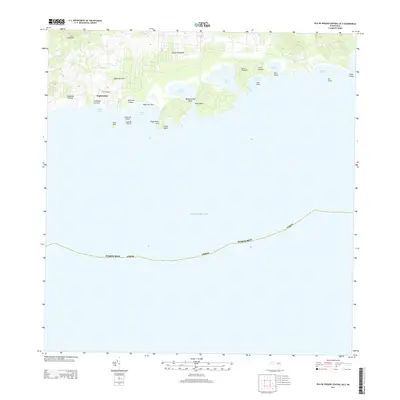
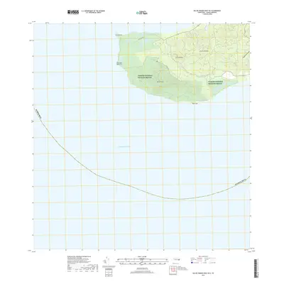
2013 Map of Isla De Vieques Central OE S
USGS Topo · Published 2013About this map
The settlement of Esperanza anchors the southern coast of Isla de Vieques on this 2013 topographic survey, serving as a gateway to the island’s biologically significant shorelines. The map captures a landscape defined by seasonal watercourses like Quebrada Urbano and Quebrada Pilón that drain into the Caribbean Sea. Along the coast, the intricate geography of the bioluminescent Puerto Mosquito is mapped in detail alongside recreational stretches such as Mosquito Bay Beach, Playa Sun Bay, and Blue Beach. Beyond the beaches, the terrain rises toward peaks like Cerro Sonadora and Cerro Caracas, while numerous offshore features like Cayo Real and Cayo Chiva highlight the complex maritime environment. The presence of Laguna La Plata near Punta Conejo illustrates the diverse coastal hydrology of the island's central southern reach.
Find a feature on this map
32 named features on this map. Tap any name to fly to it.
Don’t see what you’re looking for? This feature index may not catch every label — zoom into the map to look around manually.
Map Details
Editions of this 2013 Isla De Vieques Central OE S Map
This is the sole edition of this map. No revisions or reprints were ever made.
Other maps of this area

1943 · Island Of Vieques
USGS Topo · 1:30,000

1951 · Island Of Vieques
USGS Topo · 1:30,000
2013 · Isla De Vieques West
USGS Topo · 1:20,000
2013 · Isla De Vieques Central
USGS Topo · 1:20,000
2013 · Isla De Vieques East
USGS Topo · 1:20,000
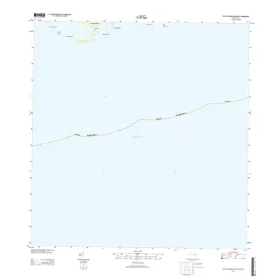
2013 · Isla De Vieques East OE S
USGS Topo · 1:20,000
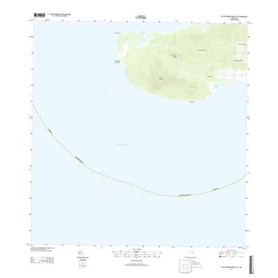
2013 · Isla De Vieques West OE S
USGS Topo · 1:20,000
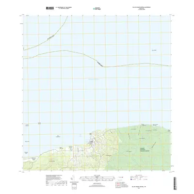
2018 · Isla De Vieques Central
USGS Topo · 1:20,000
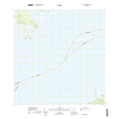
2018 · Isla De Vieques West
USGS Topo · 1:20,000
2018 · Isla De Vieques West OE S
USGS Topo · 1:20,000