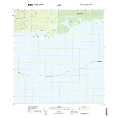
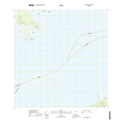
2018 Map of Isla De Vieques Central OE S
USGS Topo · Published 2018About this map
Esperanza serves as the primary coastal settlement on this southern portion of Isla de Vieques, where the landscape transitions from the heights of Cerro Sonadora and Cerro Caracas down to a series of protected bays and inlets. The map details a complex shoreline of bio-luminescent waters and sandy stretches, including Puerto Mosquito and the broad curve of Playa Sun Bay. Much of the eastern terrain is occupied by the Vieques National Wildlife Refuge, indicating the conservation status of these former naval lands.
Find a feature on this map
31 named features on this map. Tap any name to fly to it.
Don’t see what you’re looking for? This feature index may not catch every label — zoom into the map to look around manually.
Map Details
Editions of this 2018 Isla De Vieques Central OE S Map
This is the sole edition of this map. No revisions or reprints were ever made.
Other maps of this area

1943 · Island Of Vieques
USGS Topo · 1:30,000

1951 · Island Of Vieques
USGS Topo · 1:30,000
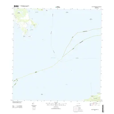
2013 · Isla De Vieques West
USGS Topo · 1:20,000
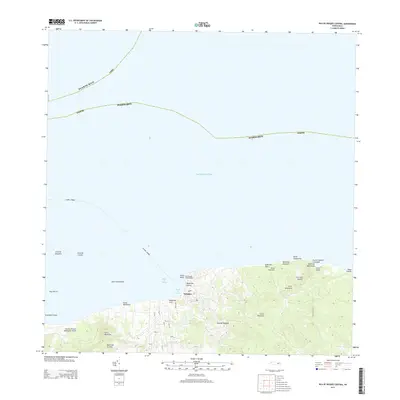
2013 · Isla De Vieques Central
USGS Topo · 1:20,000
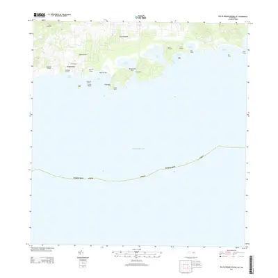
2013 · Isla De Vieques Central OE S
USGS Topo · 1:20,000
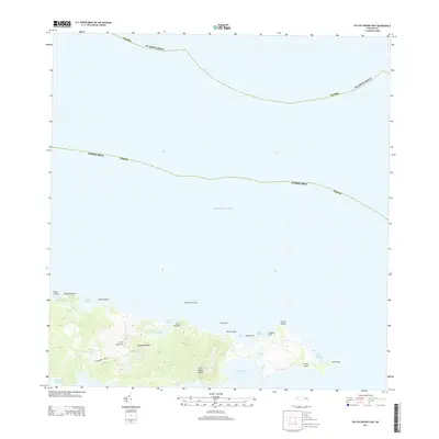
2013 · Isla De Vieques East
USGS Topo · 1:20,000
2013 · Isla De Vieques East OE S
USGS Topo · 1:20,000
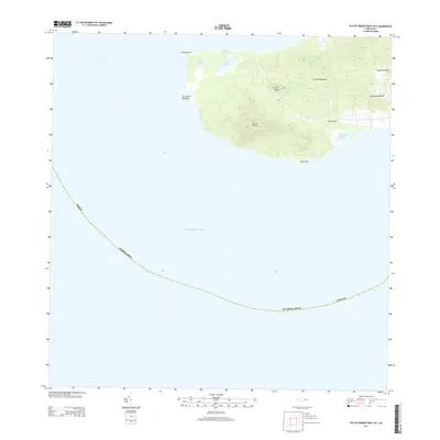
2013 · Isla De Vieques West OE S
USGS Topo · 1:20,000
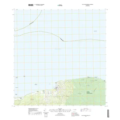
2018 · Isla De Vieques Central
USGS Topo · 1:20,000
2018 · Isla De Vieques West
USGS Topo · 1:20,000