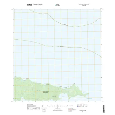
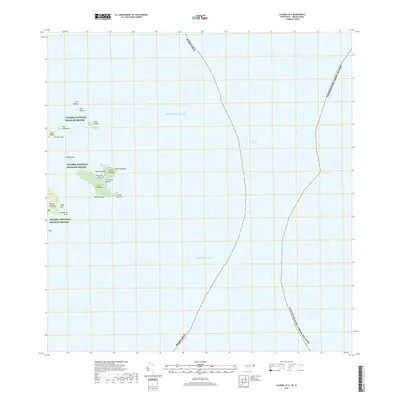
2018 Map of Isla De Vieques East
USGS Topo · Published 2018About this map
The eastern tip of Isla de Vieques is largely preserved within the Vieques National Wildlife Refuge, a landscape where the Caribbean Sea meets the Sonda de Vieques. This 2018 survey reveals a terrain defined by coastal promontories and high points like Cerro Palomas and Cerro Matias Ja obre. The rugged shoreline is punctuated by numerous inlets and bays, including Bahía Salina del Sur and the small harbor at Puerto Diablo.
Find a feature on this map
26 named features on this map. Tap any name to fly to it.
Don’t see what you’re looking for? This feature index may not catch every label — zoom into the map to look around manually.
Map Details
Editions of this 2018 Isla De Vieques East Map
This is the sole edition of this map. No revisions or reprints were ever made.
Other maps of this area

1943 · Island Of Vieques
USGS Topo · 1:30,000

1951 · Island Of Vieques
USGS Topo · 1:30,000
2013 · Isla De Vieques Central
USGS Topo · 1:20,000
2013 · Isla De Vieques Central OE S
USGS Topo · 1:20,000
2013 · Culebra OE E
USGS Topo · 1:20,000
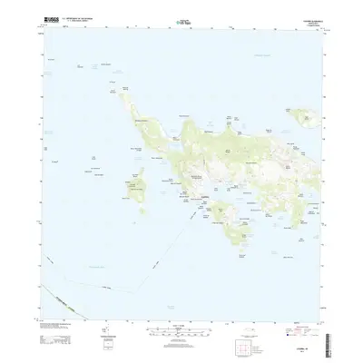
2013 · Culebra
USGS Topo · 1:20,000
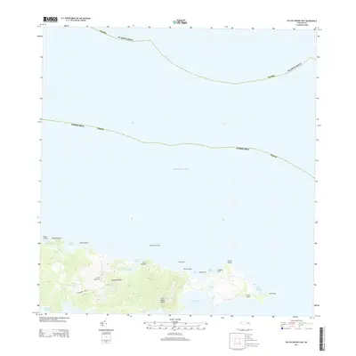
2013 · Isla De Vieques East
USGS Topo · 1:20,000
2013 · Isla De Vieques East OE S
USGS Topo · 1:20,000
2013 · Culebra OE W
USGS Topo · 1:20,000
2018 · Culebra OE E
USGS Topo · 1:20,000