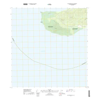
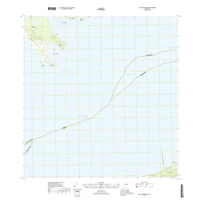
2018 Map of Isla De Vieques West OE S
USGS Topo · Published 2018About this map
Monte Pirata rises as a prominent landmark on the western end of Isla de Vieques, overlooking the vast Caribbean Sea. This 2018 survey details the protected landscape of the Vieques National Wildlife Refuge, which encompasses much of the interior high ground, including Cerro El Buey. The map tracks the primitive transport network of the era, such as the Mt. Pirata Trail and Punta Arenas Rd, which lead toward the coastal points of Punta Arenas and Punta Boca Quebrada. While the northern shore shows some light development and residential streets, the southern reaches near Punta Vaca remain largely dedicated to conservation. The presence of Quebrada Urbana at the eastern edge of the quadrangle indicates the seasonal drainage patterns typical of this tropical island terrain.
Find a feature on this map
12 named features on this map. Tap any name to fly to it.
Don’t see what you’re looking for? This feature index may not catch every label — zoom into the map to look around manually.
Map Details
Editions of this 2018 Isla De Vieques West OE S Map
This is the sole edition of this map. No revisions or reprints were ever made.
Other maps of this area

1943 · Island Of Vieques
USGS Topo · 1:30,000

1951 · Island Of Vieques
USGS Topo · 1:30,000
2013 · Naguabo
USGS Topo · 1:20,000
2013 · Isla De Vieques West
USGS Topo · 1:20,000
2013 · Isla De Vieques Central
USGS Topo · 1:20,000
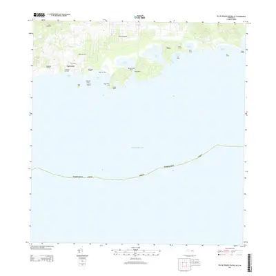
2013 · Isla De Vieques Central OE S
USGS Topo · 1:20,000
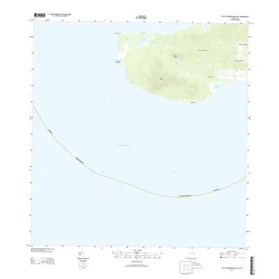
2013 · Isla De Vieques West OE S
USGS Topo · 1:20,000
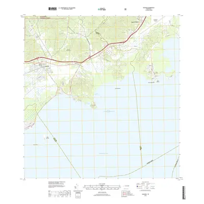
2018 · Naguabo
USGS Topo · 1:20,000
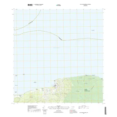
2018 · Isla De Vieques Central
USGS Topo · 1:20,000
2018 · Isla De Vieques West
USGS Topo · 1:20,000