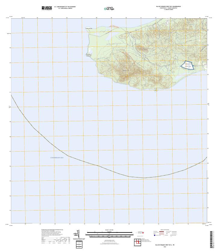
2024 Map of Isla De Vieques West OE S
USGS Topo · Published 2024About this map
Vieques National Wildlife Refuge dominates the western tip of the island, preserving a landscape where conservation interests meet complex historical land use. The terrain is defined by prominent elevations such as Monte Pirata and Cerro El-Buey, which overlook the northern coastline and the vast Caribbean Sea to the south.
Find a feature on this map
16 named features on this map. Tap any name to fly to it.
Don’t see what you’re looking for? This feature index may not catch every label — zoom into the map to look around manually.
Map Details
Editions of this 2024 Isla De Vieques West OE S Map
This is the sole edition of this map. No revisions or reprints were ever made.
Other maps of this area
1943 · Island Of Vieques
USGS Topo · 1:30,000
1951 · Island Of Vieques
USGS Topo · 1:30,000
2013 · Naguabo
USGS Topo · 1:20,000
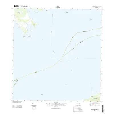
2013 · Isla De Vieques West
USGS Topo · 1:20,000
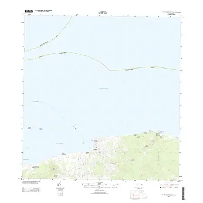
2013 · Isla De Vieques Central
USGS Topo · 1:20,000
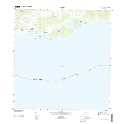
2013 · Isla De Vieques Central OE S
USGS Topo · 1:20,000
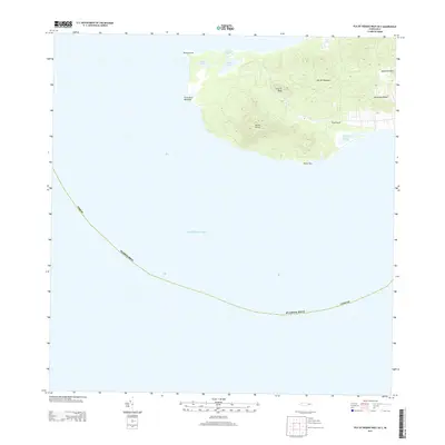
2013 · Isla De Vieques West OE S
USGS Topo · 1:20,000
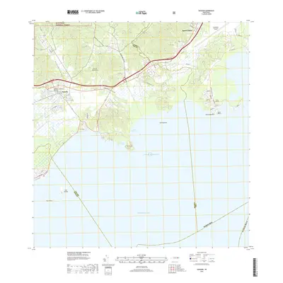
2018 · Naguabo
USGS Topo · 1:20,000
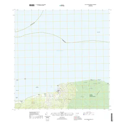
2018 · Isla De Vieques Central
USGS Topo · 1:20,000
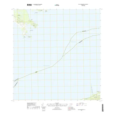
2018 · Isla De Vieques West
USGS Topo · 1:20,000