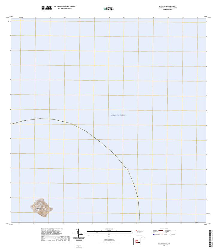
2013 Map of Isla Desecheo
USGS Topo · Published 2013About this map
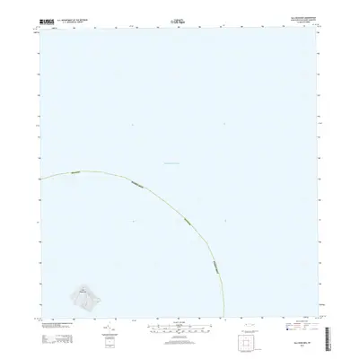
Isla Desecheo rises from the Atlantic Ocean in this 2013 topographic survey, marking a distinct and isolated landform within the jurisdiction of Mayagüez, Puerto Rico. The map illustrates the island's steep elevation contours, which reach several hundred feet above sea level, contrasting sharply with the surrounding marine environment. Because the island is uninhabited and serves as a protected refuge, the topography remains the primary focus, showing no roads, buildings, or other human infrastructure. The boundary line for the Mayagüez municipality curves through the open waters to the north and east of the island, defining the maritime limits of this territorial outpost.
Find a feature on this map
3 named features on this map. Tap any name to fly to it.
Don’t see what you’re looking for? This feature index may not catch every label — zoom into the map to look around manually.
Map Details
Editions of this 2013 Isla Desecheo Map
This is the sole edition of this map. No revisions or reprints were ever made.