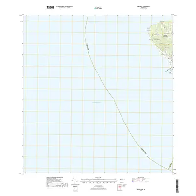
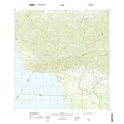
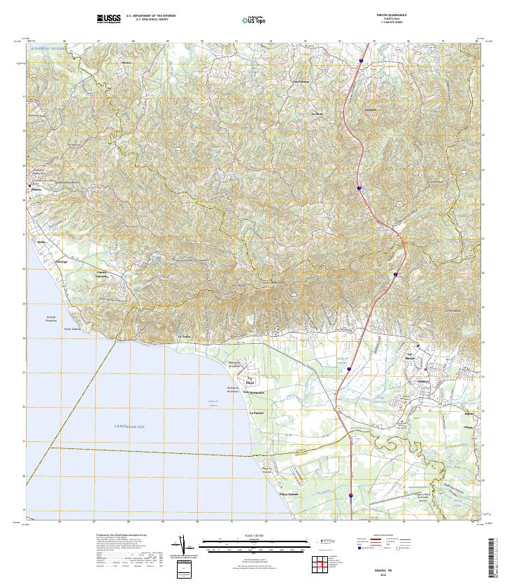
2024 Map of Rincon OE W
USGS Topo · Published 2024About this map
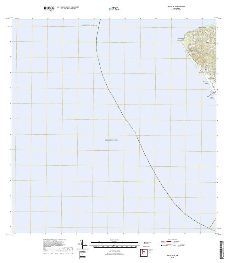
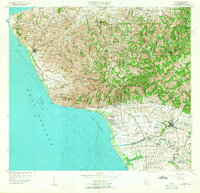
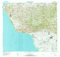
Punta Higuero stands as the westernmost point of the Island of Puerto Rico, marking the transition where the Atlantic Ocean meets the Caribbean Sea. This modern survey details the coastal topography around Rincón, including the residential and recreational zones that define the shoreline. Local routes like PR-413 and Ave Panorama wind through the hills of Cerro Martinica, providing access to coastal landmarks such as Domes Beach and Playa Corcega. The map documents the drainage patterns of Quebrada Piletas and Quebrada Los Ramos as they flow toward the coast near the Balneario de Rincón. The layout of inland roads like Cll Miramar and Cam La Joya illustrates the contemporary development of the Centro Puntas area against the steep terrain of the northwestern coast.
Find a feature on this map
22 named features on this map. Tap any name to fly to it.
Don’t see what you’re looking for? This feature index may not catch every label — zoom into the map to look around manually.
Map Details
Editions of this 2024 Rincon OE W Map
This is the sole edition of this map. No revisions or reprints were ever made.
Historical Maps of Rincón Through Time
15 maps found

1941 Rincon
Rincón Municipio, PR

1941 Rincon
Rincón Municipio, PR

1947 Rincon
Rincón Municipio, PR

1947 Rincon
Rincón Municipio, PR
1949 Rincon
Rincón Municipio, PR
1950 Rincon NO
Rincón Municipio, PR
1950 Rincon ONO
Rincón Municipio, PR
1955 Rincon
Rincón Municipio, PR
1966 Rincon
Rincón Municipio, PR
2013 Rincon OE W
Rincón Municipio, PR
2013 Rincon
Rincón Municipio, PR
2018 Rincon OE W
Rincón Municipio, PR
2018 Rincon
Rincón Municipio, PR
2024 Rincon OE W
Rincón Municipio, PR
2024 Rincon
Rincón Municipio, PR