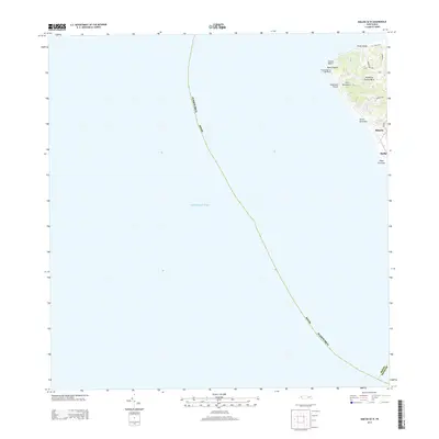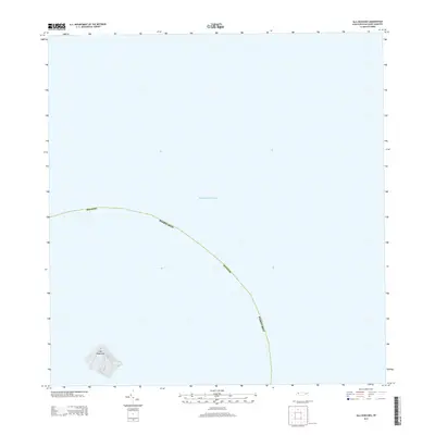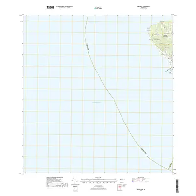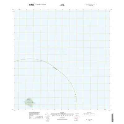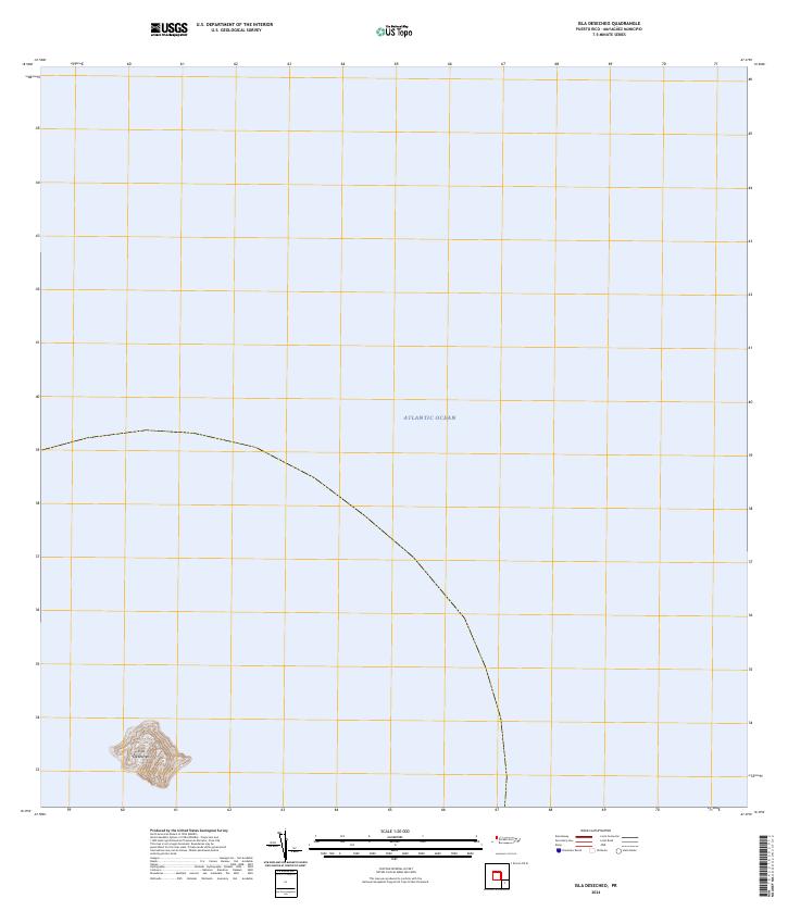
2024 Map of Isla Desecheo
USGS Topo · Published 2024About this map
Isla Desecheo rises from the Atlantic Ocean in this modern survey of the uninhabited island west of Puerto Rico. The entire landmass is designated as the Desecheo National Wildlife Refuge, reflecting its status as a protected sanctuary for seabirds and endemic species. The topographic detail focuses on the steep, rugged contours of the island, which historically served as a navigational landmark and a military training site before its conversion to a refuge. The isolation of the terrain from the mainland highlights its unique ecological role in the Caribbean.
Find a feature on this map
3 named features on this map. Tap any name to fly to it.
Don’t see what you’re looking for? This feature index may not catch every label — zoom into the map to look around manually.
Map Details
Editions of this 2024 Isla Desecheo Map
This is the sole edition of this map. No revisions or reprints were ever made.