1944 Map of Isla Mona
USGS Topo · Published 1984About this map
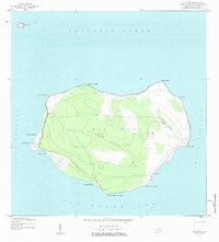
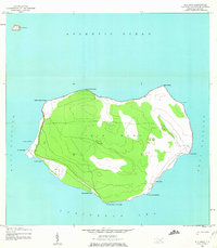
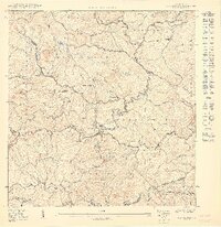
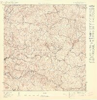
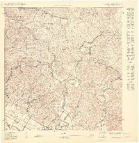
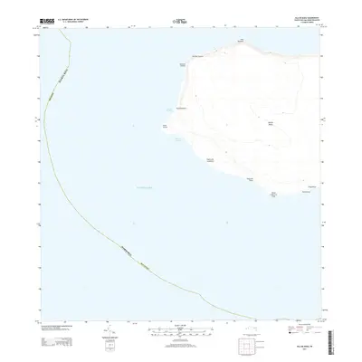
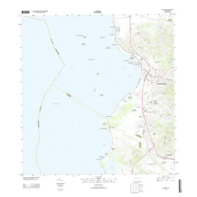
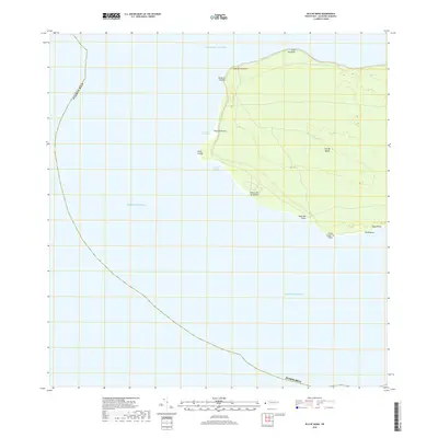
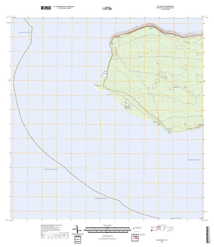
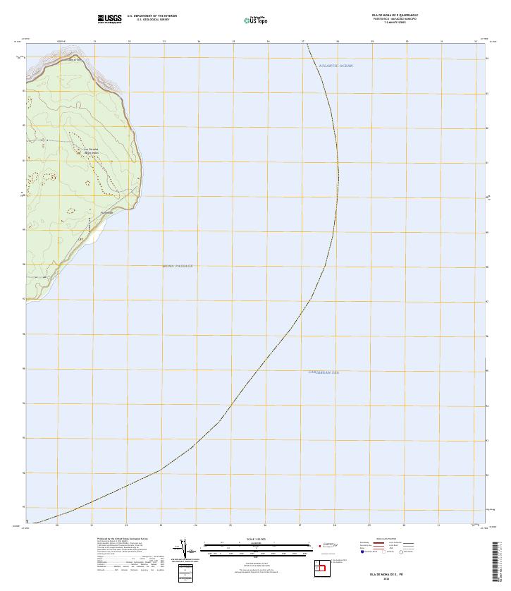
Isla Mona rises between the Atlantic Ocean and the Caribbean Sea, as documented in this topography based on 1944 aerial photography. The island's geography is defined by its dramatic limestone plateau, featuring distinctive landmarks like the Faro lighthouse on the eastern cliffs of Punta Este and the Aerodromo Emergencia on the western shore. The map details the peripheral maritime access points, including the Anclaje Sardinero and Anclaje Isabella anchorages, which were vital for accessing this remote terrain. Several coastal features such as Playa Pajaro and Cueva de Frio highlight the island's unique karst landscape. Small settlements and trails trace the western coast, while the outlying Isla Monito is visible to the northwest in the Mona Passage, illustrating the strategic and isolated nature of these islands during the mid-century era.
Find a feature on this map
19 named features on this map. Tap any name to fly to it.
Don’t see what you’re looking for? This feature index may not catch every label — zoom into the map to look around manually.
Map Details
Editions of this 1944 Isla Mona Map
2 editions found
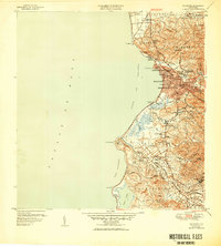
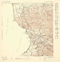
Historical Maps of Sardinera Through Time
25 maps found

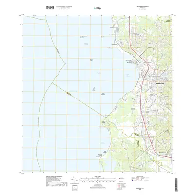
1939 Mayaguez
Mayagüez Municipio, PR
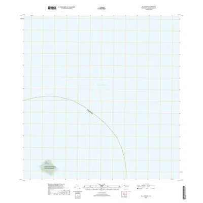
1944 Isla Mona
Mayagüez Municipio, PR
1947 Mayaguez
Mayagüez Municipio, PR
1950 Mayaguez NE
Mayagüez Municipio, PR

1950 Mayaguez SE
Mayagüez Municipio, PR
1950 Rosario NE
Mayagüez Municipio, PR
1950 Rosario NO
Mayagüez Municipio, PR
1950 Rosario SO
Mayagüez Municipio, PR

1955 Mayaguez
Mayagüez Municipio, PR
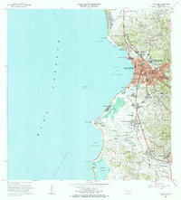
1964 Mayaguez
Mayagüez Municipio, PR
2013 Isla de Mona
Mayagüez Municipio, PR
2013 Isla de Mona OE E
Mayagüez Municipio, PR
2013 Isla de Mona OE N
Mayagüez Municipio, PR
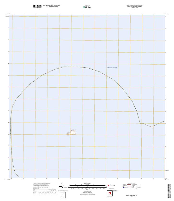
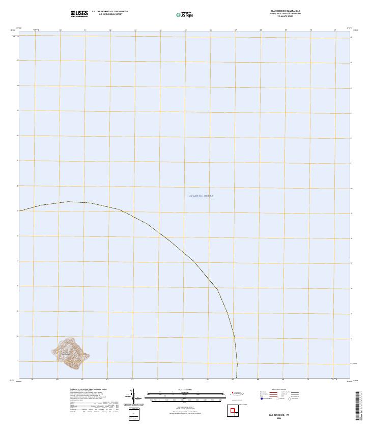
2013 Isla Desecheo
Mayagüez Municipio, PR
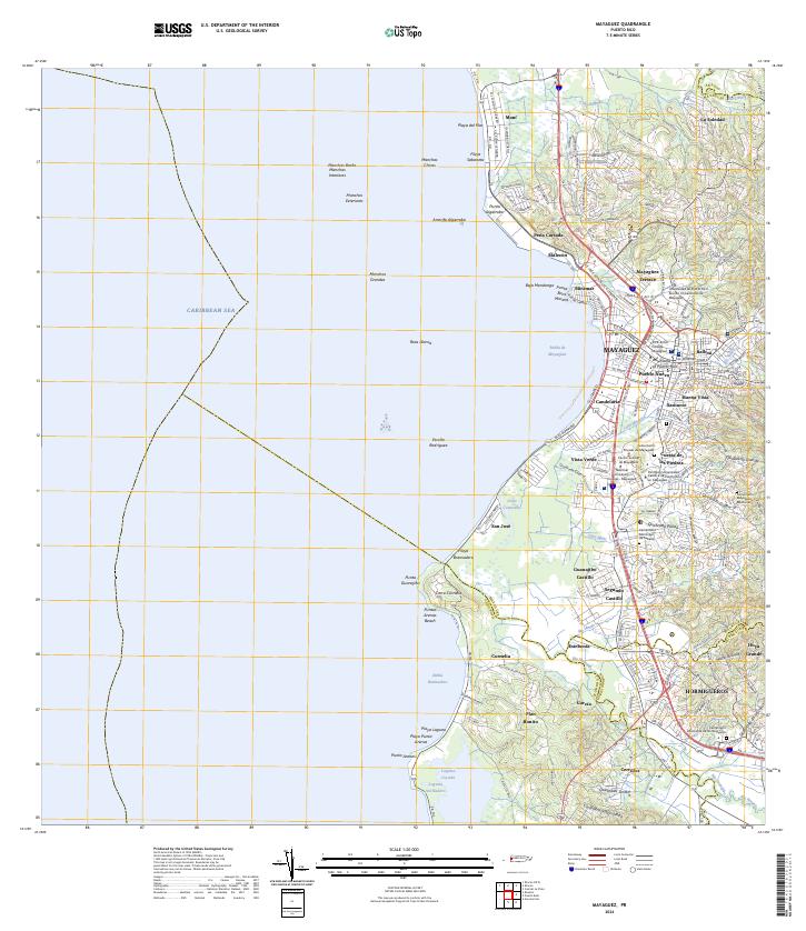
2013 Mayaguez
Mayagüez Municipio, PR
2018 Isla de Mona
Mayagüez Municipio, PR
2018 Isla de Mona OE E
Mayagüez Municipio, PR
2018 Isla de Mona OE N
Mayagüez Municipio, PR
2018 Isla Desecheo
Mayagüez Municipio, PR
2018 Mayaguez
Mayagüez Municipio, PR
2024 Isla de Mona
Mayagüez Municipio, PR
2024 Isla de Mona OE E
Mayagüez Municipio, PR
2024 Isla de Mona OE N
Mayagüez Municipio, PR
2024 Isla Desecheo
Mayagüez Municipio, PR
2024 Mayaguez
Mayagüez Municipio, PR