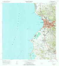
1964 Map of Mayaguez
USGS Topo · Published 1985About this map
The western coast of Puerto Rico centers on the bustling port city of Mayagüez, where urban expansion meets the Mona Passage. This mid-century survey captures the city's complex grid, featuring landmarks like the Cárcel and Academia de la Inmaculada, alongside established neighborhoods such as Sabanetas and Sábalos. The industrial footprint of the era is evident at the Central Rochelaise and various radio antennas including Antenas de Radio (WTIL).
Find a feature on this map
104 named features on this map. Tap any name to fly to it.
Don’t see what you’re looking for? This feature index may not catch every label — zoom into the map to look around manually.
Map Details
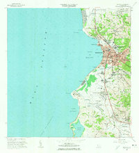
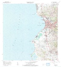
Editions of this 1964 Mayaguez Map
3 editions found
Other maps of this area

1935 · Puerto Real
USGS Topo · 1:25,000

1937 · San German
USGS Topo · 1:25,000

1937 · Puerto Real
USGS Topo · 1:25,000

1938 · Alto Sano
USGS Topo · 1:20,000

1939 · Mayaguez
USGS Topo · 1:30,000

1941 · Rincon
USGS Topo · 1:30,000

1941 · San German
USGS Topo · 1:30,000

1941 · Puerto Real
USGS Topo · 1:30,000

1941 · Rincon
USGS Topo · 1:30,000

1941 · Rosario
USGS Topo · 1:30,000