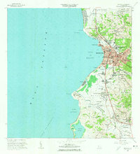
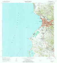
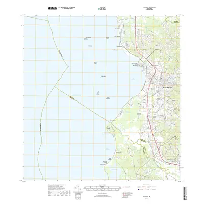
1964 Map of Mayaguez
USGS Topo · Published 1966About this map
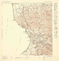
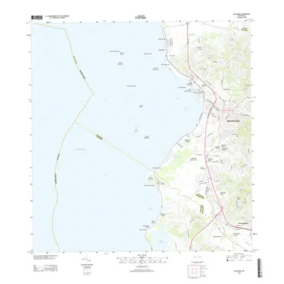
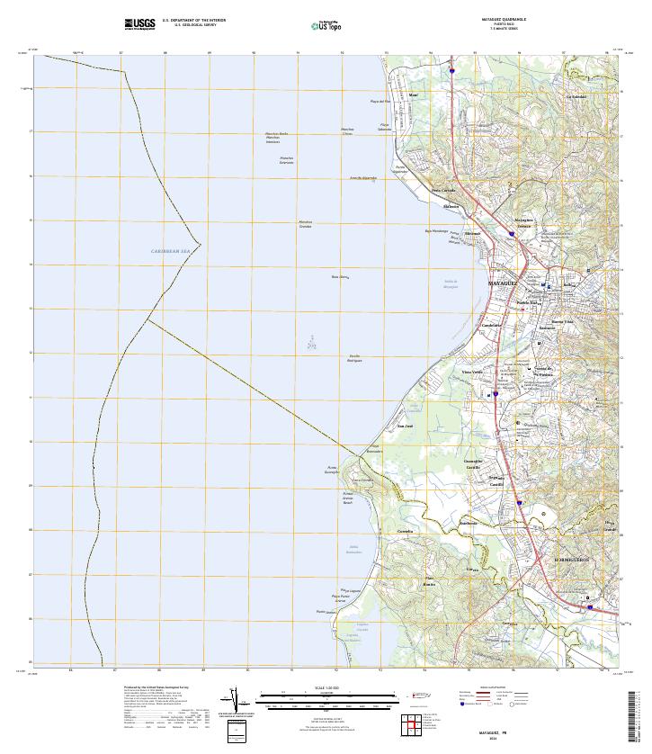
Mayagüez serves as the focal point of this coastal survey, showcasing a dense urban core flanked by agricultural and industrial landscapes. The city's mid-century expansion is evidenced by the prominent Universidad de Puerto Rico Colegio de Agricultura y Artes Mecanicas and several specialized institutions like the Escuela Industrial y Reformatoria. To the south, the industrial presence of Central Rochelaise and the Planta de Tratamiento de Aguas Negras indicates the region's economic drivers near the Río Guanajibo.
Find a feature on this map
98 named features on this map. Tap any name to fly to it.
Don’t see what you’re looking for? This feature index may not catch every label — zoom into the map to look around manually.
Map Details
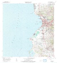
Editions of this 1964 Mayaguez Map
3 editions found
Historical Maps of Mayagüez Through Time
25 maps found

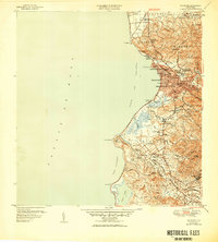
1939 Mayaguez
Mayagüez Municipio, PR
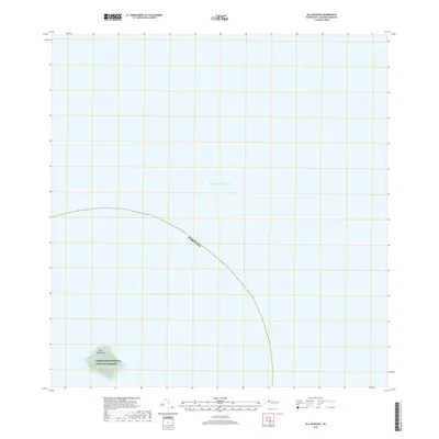
1944 Isla Mona
Mayagüez Municipio, PR
1947 Mayaguez
Mayagüez Municipio, PR
1950 Mayaguez NE
Mayagüez Municipio, PR

1950 Mayaguez SE
Mayagüez Municipio, PR
1950 Rosario NE
Mayagüez Municipio, PR
1950 Rosario NO
Mayagüez Municipio, PR
1950 Rosario SO
Mayagüez Municipio, PR

1955 Mayaguez
Mayagüez Municipio, PR
1964 Mayaguez
Mayagüez Municipio, PR
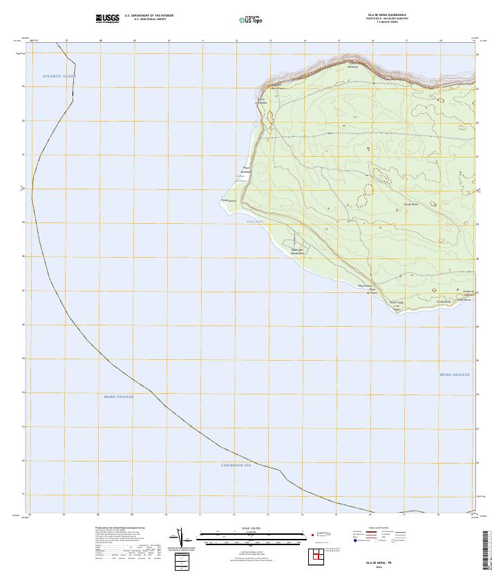
2013 Isla de Mona
Mayagüez Municipio, PR
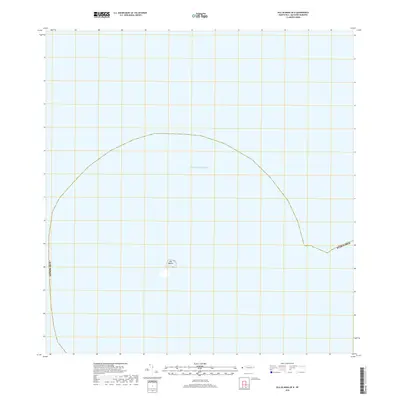
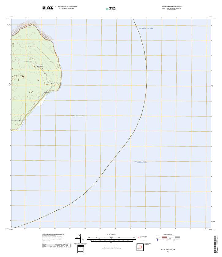
2013 Isla de Mona OE E
Mayagüez Municipio, PR
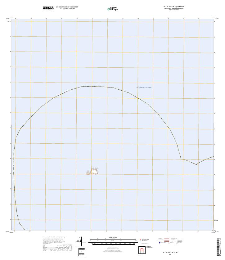
2013 Isla de Mona OE N
Mayagüez Municipio, PR
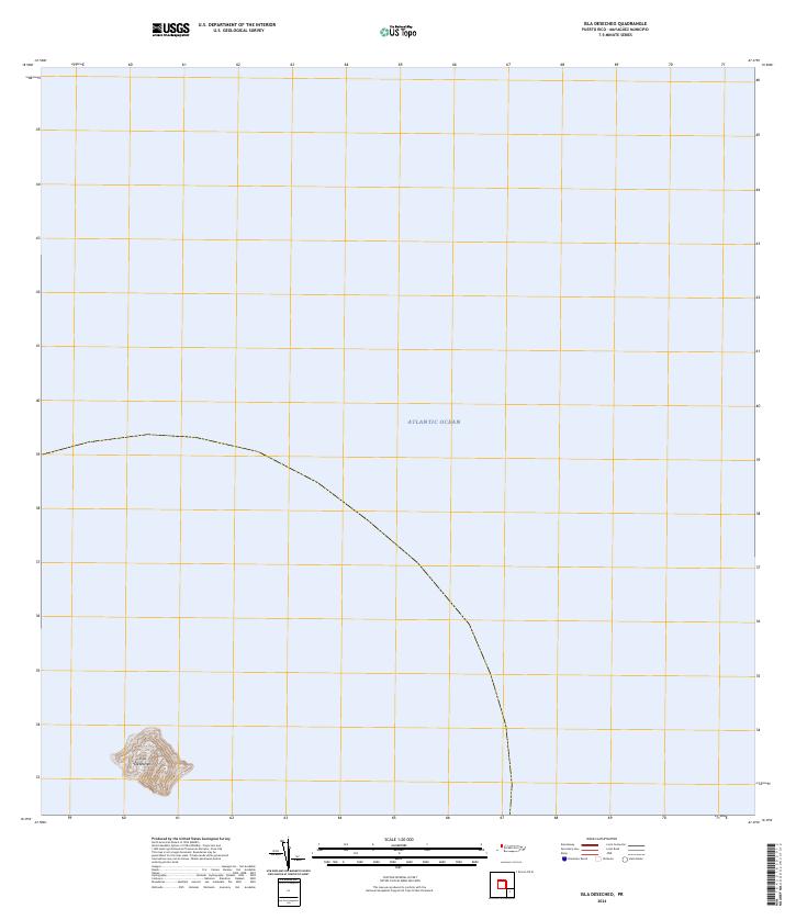
2013 Isla Desecheo
Mayagüez Municipio, PR
2013 Mayaguez
Mayagüez Municipio, PR
2018 Isla de Mona
Mayagüez Municipio, PR
2018 Isla de Mona OE E
Mayagüez Municipio, PR
2018 Isla de Mona OE N
Mayagüez Municipio, PR
2018 Isla Desecheo
Mayagüez Municipio, PR
2018 Mayaguez
Mayagüez Municipio, PR
2024 Isla de Mona
Mayagüez Municipio, PR
2024 Isla de Mona OE E
Mayagüez Municipio, PR
2024 Isla de Mona OE N
Mayagüez Municipio, PR
2024 Isla Desecheo
Mayagüez Municipio, PR
2024 Mayaguez
Mayagüez Municipio, PR