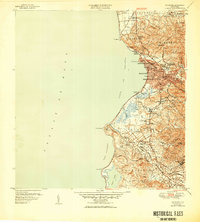
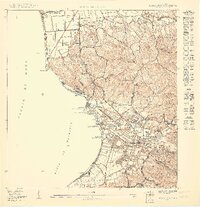
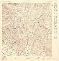
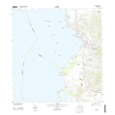
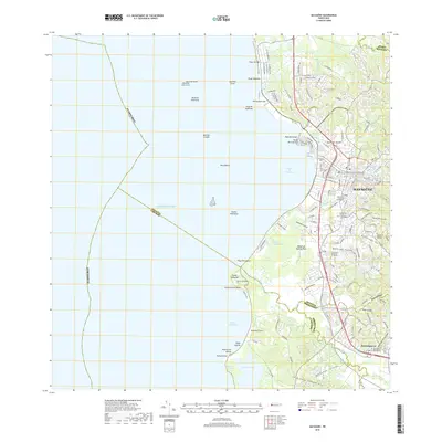
1947 Map of Mayaguez
USGS Topo · Published 1950About this map
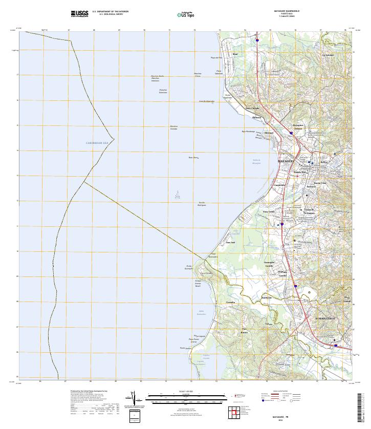
The western coast of Puerto Rico is dominated by the industrial and maritime activity of Mayagüez during this mid-century period. The shoreline is partitioned into several distinct districts including Marina Septentrional, Candelaria, and Marina Meridional, reflecting a densely organized urban port. The logistics of the sugar and transit economy are evident in the presence of the American Railroad of Porto Rico, which connects the Estación Playa to the northern and southern sectors of the island.
Find a feature on this map
62 named features on this map. Tap any name to fly to it.
Don’t see what you’re looking for? This feature index may not catch every label — zoom into the map to look around manually.
Map Details
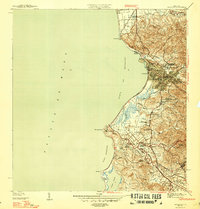
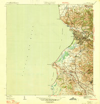
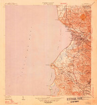
Editions of this 1947 Mayaguez Map
4 editions found
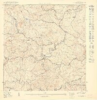
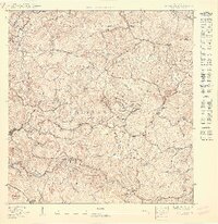
Historical Maps of Mayagüez Through Time
25 maps found

1939 Mayaguez
Mayagüez Municipio, PR
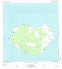
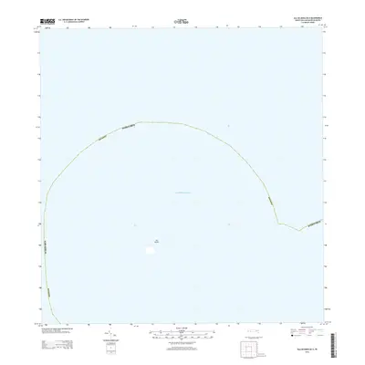
1944 Isla Mona
Mayagüez Municipio, PR
1947 Mayaguez
Mayagüez Municipio, PR
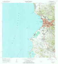
1950 Mayaguez NE
Mayagüez Municipio, PR

1950 Mayaguez SE
Mayagüez Municipio, PR
1950 Rosario NE
Mayagüez Municipio, PR
1950 Rosario NO
Mayagüez Municipio, PR
1950 Rosario SO
Mayagüez Municipio, PR

1955 Mayaguez
Mayagüez Municipio, PR
1964 Mayaguez
Mayagüez Municipio, PR
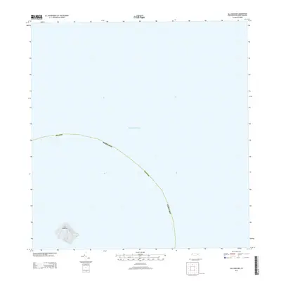
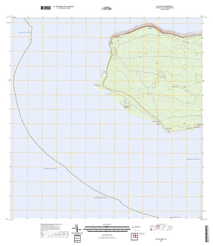
2013 Isla de Mona
Mayagüez Municipio, PR
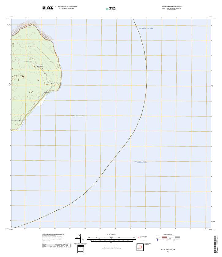
2013 Isla de Mona OE E
Mayagüez Municipio, PR
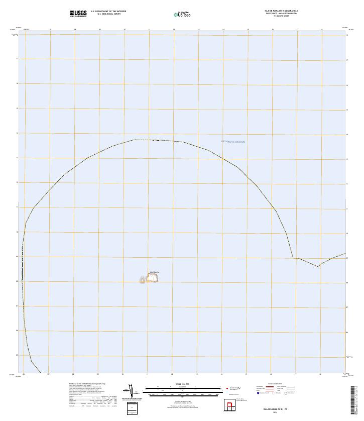
2013 Isla de Mona OE N
Mayagüez Municipio, PR
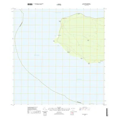
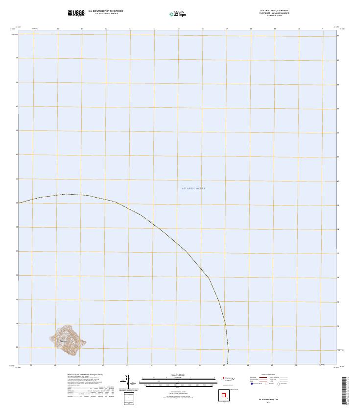
2013 Isla Desecheo
Mayagüez Municipio, PR
2013 Mayaguez
Mayagüez Municipio, PR
2018 Isla de Mona
Mayagüez Municipio, PR
2018 Isla de Mona OE E
Mayagüez Municipio, PR
2018 Isla de Mona OE N
Mayagüez Municipio, PR
2018 Isla Desecheo
Mayagüez Municipio, PR
2018 Mayaguez
Mayagüez Municipio, PR
2024 Isla de Mona
Mayagüez Municipio, PR
2024 Isla de Mona OE E
Mayagüez Municipio, PR
2024 Isla de Mona OE N
Mayagüez Municipio, PR
2024 Isla Desecheo
Mayagüez Municipio, PR
2024 Mayaguez
Mayagüez Municipio, PR