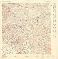
1947 Map of Mayaguez
USGS Topo · Published 1947About this map
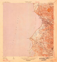
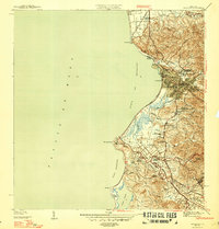
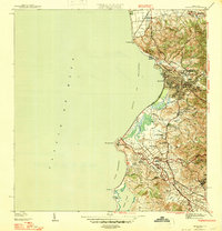
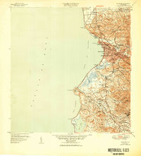
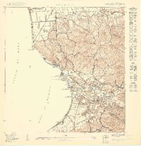
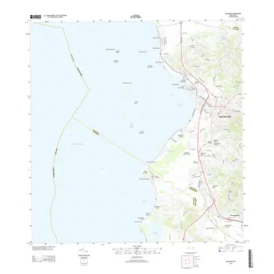
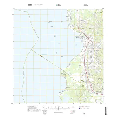
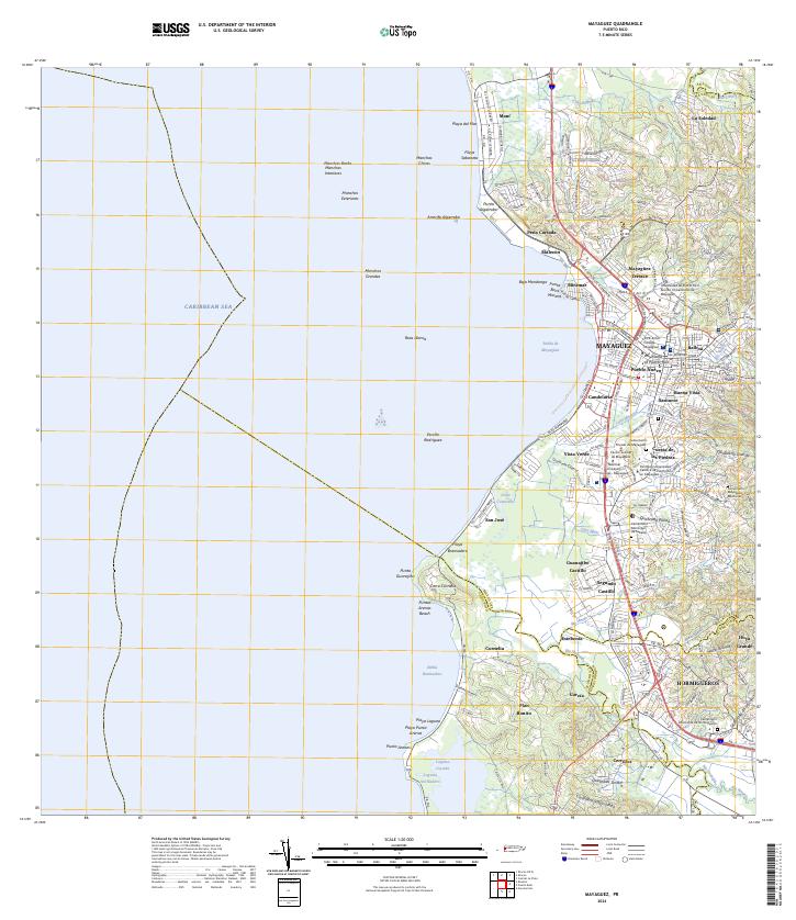
Mayagüez serves as the focal point of this late 1930s survey, showing the city's coastal orientation and its importance as an educational and agricultural hub. The presence of the University of Puerto Rico Colegio de Agricultura and the U.S. Dept. of Agriculture Experiment Station highlights the era's focus on scientific development and higher education. The coastline is marked by distinctive sectors like Marina Septentrional and Marina Meridional, while the Porto Rico RR and American Railroad provide the backbone for transporting goods between the port and the interior sugar lands.
Find a feature on this map
63 named features on this map. Tap any name to fly to it.
Don’t see what you’re looking for? This feature index may not catch every label — zoom into the map to look around manually.
Map Details
Editions of this 1947 Mayaguez Map
4 editions found
Historical Maps of Mayagüez Through Time
25 maps found

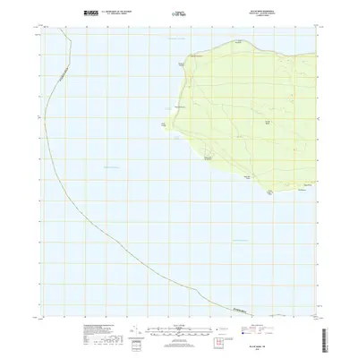
1939 Mayaguez
Mayagüez Municipio, PR
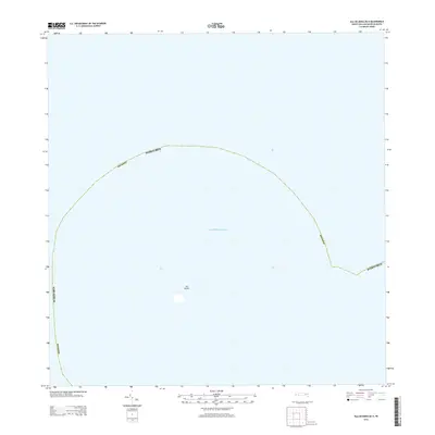
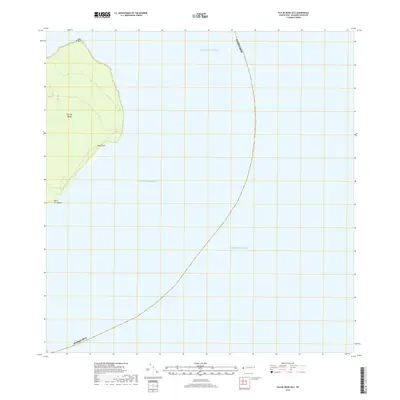
1944 Isla Mona
Mayagüez Municipio, PR
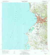
1947 Mayaguez
Mayagüez Municipio, PR
1950 Mayaguez NE
Mayagüez Municipio, PR

1950 Mayaguez SE
Mayagüez Municipio, PR
1950 Rosario NE
Mayagüez Municipio, PR
1950 Rosario NO
Mayagüez Municipio, PR
1950 Rosario SO
Mayagüez Municipio, PR

1955 Mayaguez
Mayagüez Municipio, PR
1964 Mayaguez
Mayagüez Municipio, PR
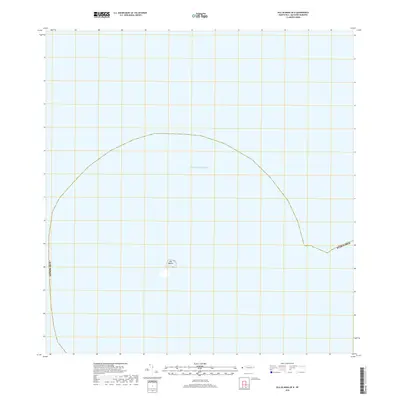
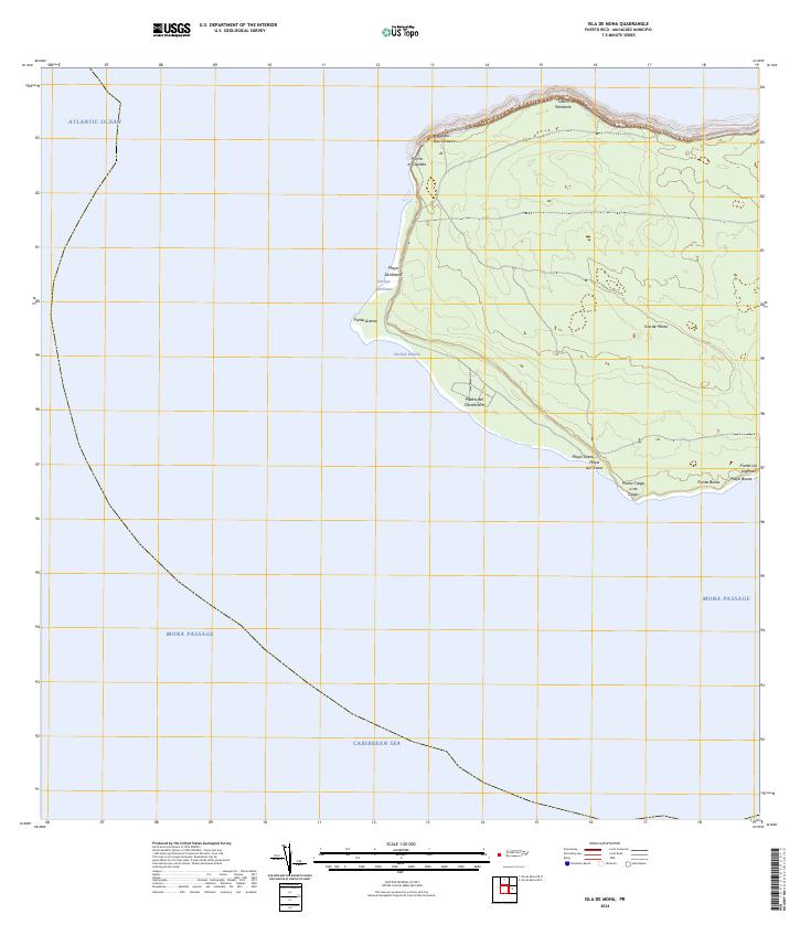
2013 Isla de Mona
Mayagüez Municipio, PR
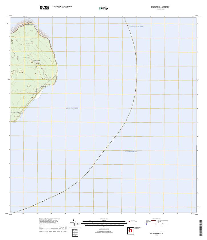
2013 Isla de Mona OE E
Mayagüez Municipio, PR
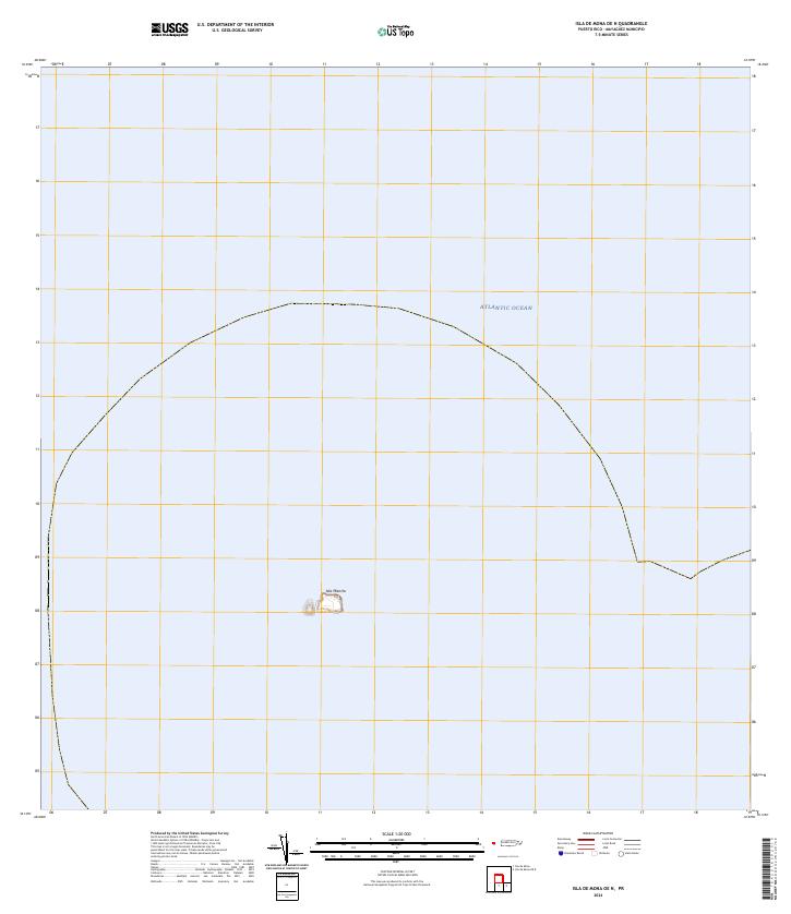
2013 Isla de Mona OE N
Mayagüez Municipio, PR
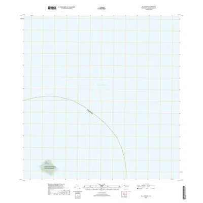
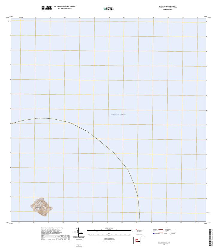
2013 Isla Desecheo
Mayagüez Municipio, PR
2013 Mayaguez
Mayagüez Municipio, PR
2018 Isla de Mona
Mayagüez Municipio, PR
2018 Isla de Mona OE E
Mayagüez Municipio, PR
2018 Isla de Mona OE N
Mayagüez Municipio, PR
2018 Isla Desecheo
Mayagüez Municipio, PR
2018 Mayaguez
Mayagüez Municipio, PR
2024 Isla de Mona
Mayagüez Municipio, PR
2024 Isla de Mona OE E
Mayagüez Municipio, PR
2024 Isla de Mona OE N
Mayagüez Municipio, PR
2024 Isla Desecheo
Mayagüez Municipio, PR
2024 Mayaguez
Mayagüez Municipio, PR