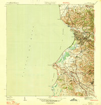
1947 Map of Mayaguez
USGS Topo · Published 1947About this map
Mayagüez serves as the focal point for this mid-century coastal survey, illustrating the urban core of Puerto Rico's western shore before the expansion of the modern era. The landscape transitions from the developed waterfront at Malecon to the agricultural and educational infrastructure of the interior, notably the Universidad de Puerto Rico Colegio de Agricultura y Artes Mecanicas and the U.S. Dept. of Agriculture Experiment Station. The coastal economy is anchored by the American Railroad of Porto Rico, which traces the shoreline past industrial landmarks like the Central Rochelaise. To the south, the terrain becomes more localized with small settlements such as Poblado Sabalos and Hormigueros, alongside numerous namesake agricultural colonies like Colonia Estebanía. The map details a complex hydrology where the Río Yagüez and Río Guanajibo meet the Bahía de Mayagüez, shaping the development of this maritime region.
Find a feature on this map
49 named features on this map. Tap any name to fly to it.
Don’t see what you’re looking for? This feature index may not catch every label — zoom into the map to look around manually.
Map Details
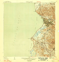
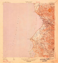
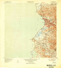
Editions of this 1947 Mayaguez Map
4 editions found
Other maps of this area

1935 · Puerto Real
USGS Topo · 1:25,000

1937 · San German
USGS Topo · 1:25,000

1937 · Puerto Real
USGS Topo · 1:25,000

1938 · Alto Sano
USGS Topo · 1:20,000

1939 · Mayaguez
USGS Topo · 1:30,000

1941 · Rincon
USGS Topo · 1:30,000

1941 · San German
USGS Topo · 1:30,000

1941 · Puerto Real
USGS Topo · 1:30,000

1941 · Rincon
USGS Topo · 1:30,000

1941 · Rosario
USGS Topo · 1:30,000