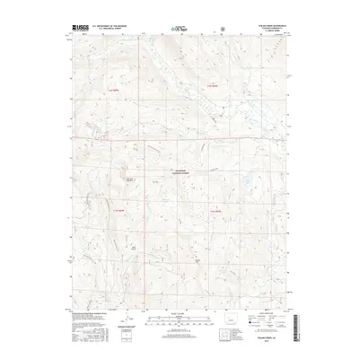
2016 Map of Italian Creek
USGS Topo · Published 2016About this map
American Flag Mtn dominates the high-altitude landscape of the Gunnison National Forest, where the complex drainage systems of the Taylor River and its numerous tributaries are mapped in exacting detail. This 2016 survey documents a backcountry environment characterized by high peaks and steep drainage basins, including the notable Dark Gulch and Forest Hill. The map serves as a vital record of the network of historic routes and modern trails that traverse the region, such as the Italian Pass Jeep Trail and the Star Trail. These paths connect remote water bodies like Mysterious Lake, Horsethief Lake, and Lily Pond, which are essential markers for navigators and historians of the Colorado high country. The convergence of Italian Creek and the Taylor River illustrates the hydrological patterns that have shaped this portion of Gunnison County.
Find a feature on this map
31 named features on this map. Tap any name to fly to it.
Don’t see what you’re looking for? This feature index may not catch every label — zoom into the map to look around manually.
Map Details
Editions of this 2016 Italian Creek Map
This is the sole edition of this map. No revisions or reprints were ever made.
Other maps of this area
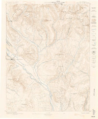
1888 · Crested Butte
USGS Topo · 1:62,500
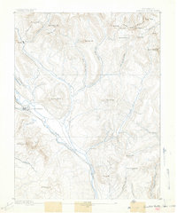
1889 · Crested Butte
USGS Topo · 1:62,500
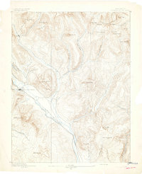
1893 · Crested Butte
USGS Topo · 1:62,500
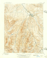
1893 · Aspen
USGS Topo · 1:62,500
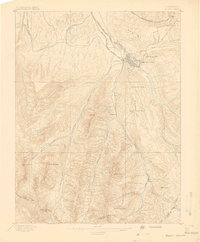
1895 · Aspen
USGS Topo · 1:62,500
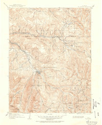
1909 · Mount Jackson
USGS Topo · 1:125,000
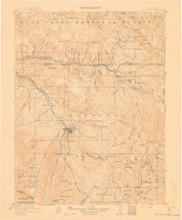
1911 · Mount Jackson
USGS Topo · 1:125,000
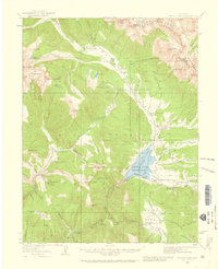
1934 · Taylor Park
USGS Topo · 1:62,500
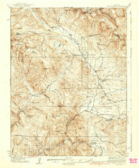
1937 · Taylor Park
USGS Topo · 1:62,500

1956 · Montrose
USGS Topo · 1:250,000